
What is recorded here
Carrickalahagh Headland is a publicly named cliff or headland in County Donegal, Ireland.
From the Wikimedia Commons public picture page picture record
The public picture does not grant access. Check the route and ask before entering private land.
Places near here
 Tramore StrandBeach / strand · 990 yd
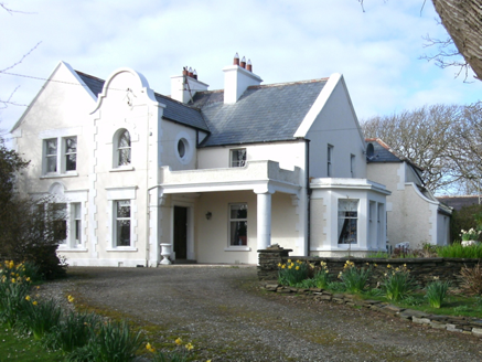 Kiltoorish HallHouse · 1.4 mi
 O'Boyle's Fort at StonebrookNamed fort remains · 1.9 mi
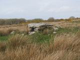 Kilclooney More Portal TombPortal tomb · 2.0 mi
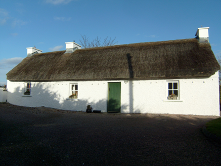 Beagh CottageHouse · 2.1 mi
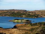 Doon FortFairy fort / stone ringfort · 2.3 mi
 Maghera StrandBeach / strand · 2.5 mi
 IllancreeveIslet · 2.6 mi
 Maghera CavesSea caves · 2.7 mi
 Assaranca WaterfallWaterfall · 2.9 mi
 Maghera WaterfallWaterfall · 3.0 mi
 InishkeelIslet · 3.6 mi
Pictures: Joseph Mischyshyn, Geograph · CC BY-SA 2.0; National Inventory of Architectural Heritage; Bart Whelan, Wikimedia Commons · CC BY-SA 2.0; Wanfried-Dublin, Wikimedia Commons · CC BY-SA 4.0; Rossographer, Wikimedia Commons · CC BY-SA 2.0; Kenneth Allen, Geograph · CC BY-SA 2.0; N Chadwick, Wikimedia Commons · CC BY-SA 2.0; Rossographer, Geograph · CC BY-SA 2.0; No machine-readable author provided. Bogman assumed (based on copyright claims)., Wikimedia Commons · CC BY-SA 2.5; Mac McCarron, Geograph · CC BY-SA 2.0
More cliffs, bays and coast in County Donegal · All of County Donegal
What do you know about this place?