
What is recorded here
Inishkeel Graveyard near Glenties sits on a vanished church marked only on old maps, its memory buried beneath a modern rectangular wall. The south edge rests on a circular rise fifty metres across and three metres high, part of which still bulges outside the west boundary. The church is gone, but the mound remains, holding the shape of a place that once stood before it was forgotten.
Marked as a church site (DG074-008001-) on the 1st edition of the OS 6-inch map. No trace of this church survives. The site is now enclosed by a rectangular modern graveyard. The S side of this graveyard seems to have been built on a roughly circular rise of ground, part of which is evident outside the W wall. The diameter of this rise is c. 50m and its maximum height is 3.26m. The site is located on the floor of an E-W valley surrounded by poor to fair pasture land.
The above description was derived from the 'Archaeological Survey of County Donegal. A description of the field antiquities of the County from the Mesolithic Period to the 17th century.' Compiled by: Brian Lacey with Eamon Cody, Claire Cotter, Judy Cuppage, Noel Dunne, Vincent Hurley, Celie O'Rahilly, Paul Walsh and Seán Ó Nualláin (Lifford: Donegal County Council, 1983). In certain instances the entries have been revised and updated.
Date of upload: 22 September 2008
The monument record does not grant public access. Check the route and ask the landowner before entering private land.
- What survives
- Recorded monument
Places near here
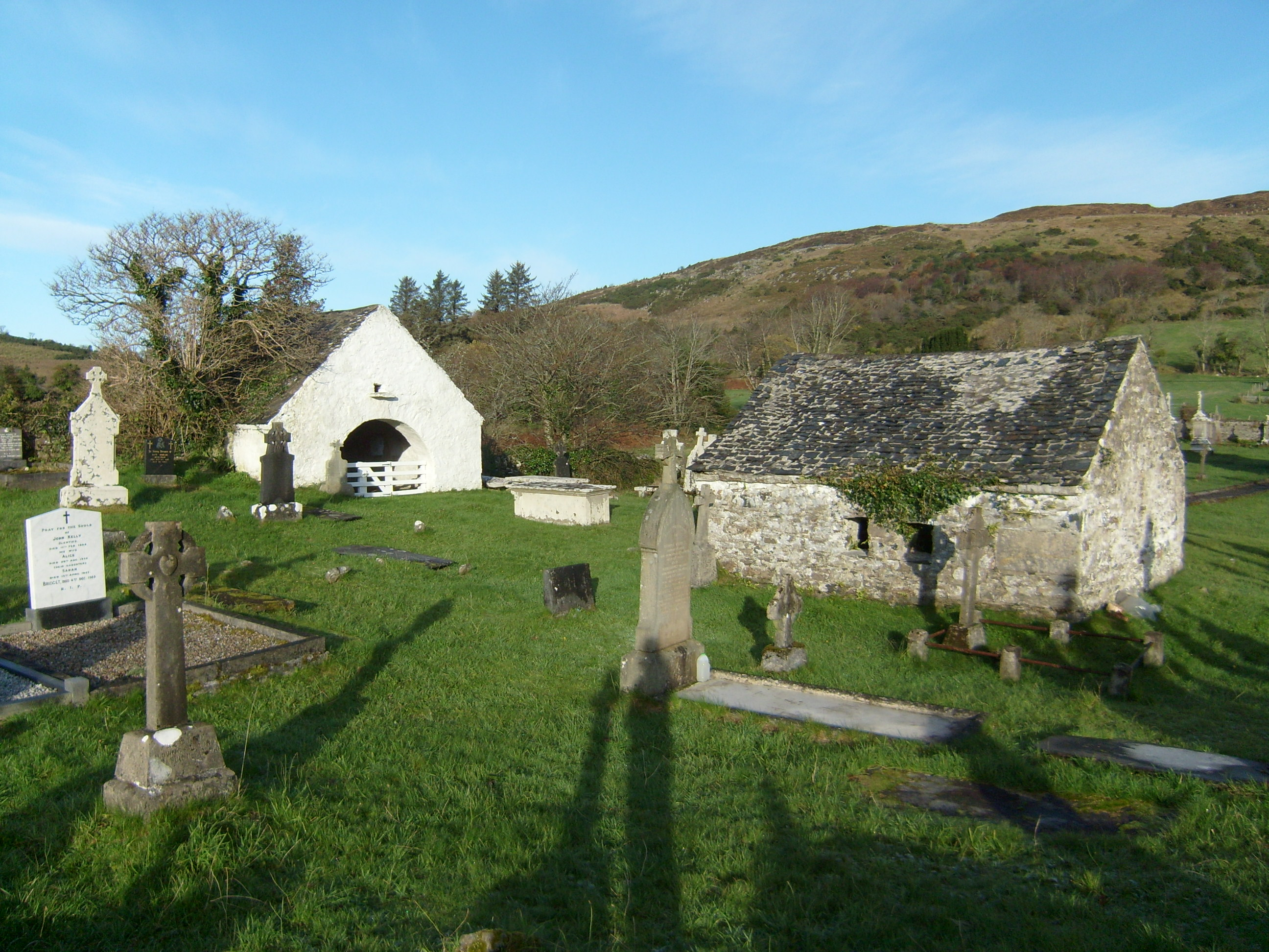 mausoleummausoleum · 103 yd
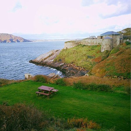 Drumnasillagh Inland Promontory FortPromontory fort, inland · 672 yd
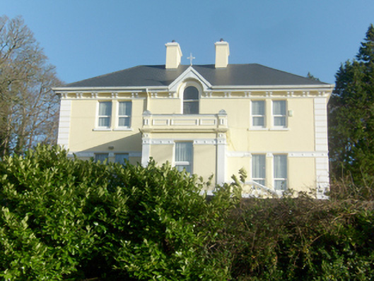 St. Columba’s Catholic Presbyterypresbytery/parochial/curate's house · 1491 yd
 St. Connell's Museum and Heritage CentreMuseum · 1629 yd
 Kilrean Upper Fairy FortFairy fort / earthen ringfort · 2.1 mi
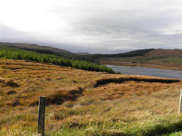 Derkmore Wood Nature ReserveNature reserve · 3.6 mi
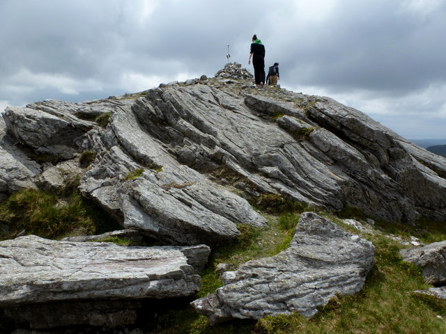 CarnaweenMountain / peak · 3.8 mi
 Dermot & Grania's BedCave · 3.8 mi
 Cloghmeen HillMountain / peak · 3.9 mi
 Wych ElmWych Elm · 4.2 mi
 Disert GraveyardGraveyard · 4.8 mi
 John DohertyMemorial · 6.2 mi
Other information
Photo: louise price · CC BY-SA 2.0