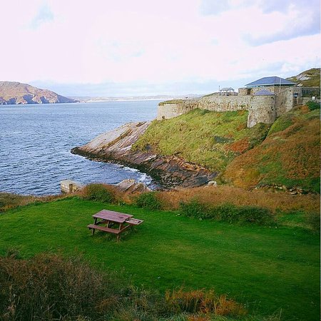
What is recorded here
An almost semicircular area defined on its NE edge by a cliff face, running NW-SE, and elsewhere by 3 curving collapsed stone wall. A distance of 100m of cliff edge, which is irregular and steep but not sheer, is enclosed. The radius of the semicircle is 50m. The wall is evident in places as a low rise or as a spread of collapsed stone. At its SE end, where it has been mostly robbed to build a nearby field wall, the wall turns to run along the cliff edge for a short distance. The interior is uneven and covered with peat. The site is located strategically on a prominent hill overlooking the valley of the Owenea river to the S. It has a good view of a vast plain to the W but is overlooked by higher ground to the E. The terrain consists of rough bog-covered grazing land.
The above description was derived from the 'Archaeological Survey of County Donegal. A description of the field antiquities of the County from the Mesolithic Period to the 17th century.' Compiled by: Brian Lacey with Eamon Cody, Claire Cotter, Judy Cuppage, Noel Dunne, Vincent Hurley, Celie O'Rahilly, Paul Walsh and Seán Ó Nualláin (Lifford: Donegal County Council, 1983). In certain instances the entries have been revised and updated.
Date of upload: 22 September 2008
The monument record does not grant public access. Check the route and ask the landowner before entering private land.
- What survives
- Recorded monument
Places near here
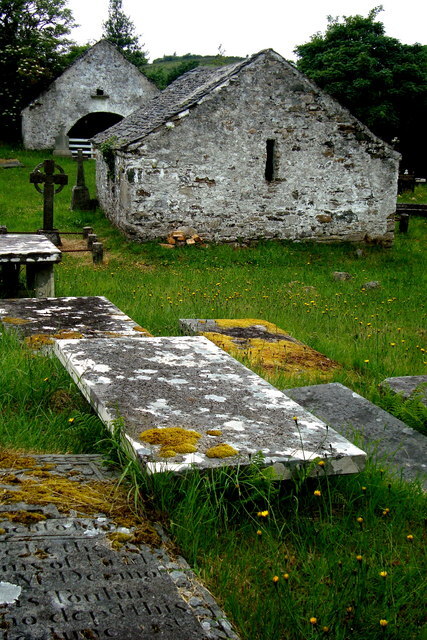 Inishkeel Graveyard near GlentiesGraveyard · 672 yd
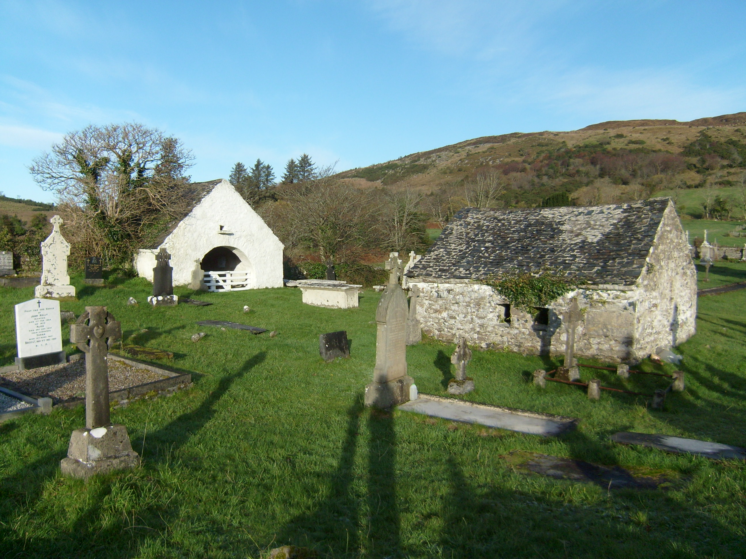 mausoleummausoleum · 687 yd
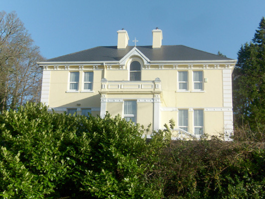 St. Columba’s Catholic Presbyterypresbytery/parochial/curate's house · 968 yd
 St. Connell's Museum and Heritage CentreMuseum · 1154 yd
 Kilrean Upper Fairy FortFairy fort / earthen ringfort · 2.1 mi
 Burial GroundGraveyard · 2.3 mi
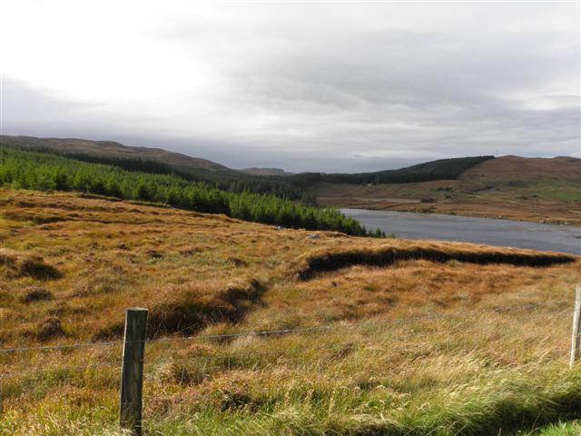 Derkmore Wood Nature ReserveNature reserve · 3.3 mi
 Wych ElmWych Elm · 3.8 mi
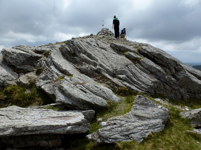 CarnaweenMountain / peak · 4.1 mi
 Dermot & Grania's BedCave · 4.2 mi
 Cloghmeen HillMountain / peak · 4.3 mi
 Disert GraveyardGraveyard · 5.1 mi
Other information
Photo: Credit not shown in the picture search · Rights wording not checked; contact us if this picture should be removed