
What is recorded here
Internal diam. 37m. An almost circular area enclosed by an earthen bank up to 3m in height. A 3.7m gap on the W is a likely entrance. There is also a fosse and external bank. There is a local tradition for a 'cave' (DG074-007002-) in the interior but no trace of this can be seen. The site is located on a NNW-SSE ridge in land currently under reclamation.
The above description was derived from the 'Archaeological Survey of County Donegal. A description of the field antiquities of the County from the Mesolithic Period to the 17th century.' Compiled by: Brian Lacey with Eamon Cody, Claire Cotter, Judy Cuppage, Noel Dunne, Vincent Hurley, Celie O'Rahilly, Paul Walsh and Seán Ó Nualláin (Lifford: Donegal County Council, 1983). In certain instances the entries have been revised and updated.
Date of upload: 22 September 2008
Kilrean Upper Fairy Fort is a likely early-medieval ringfort, characterized by an earthen bank, fosse, and external bank, with a 37m internal diameter and a western entrance gap. Local tradition mentions a 'cave' associated with the site, possibly linked to folklore surrounding fairy activity or hidden underground passages.
The monument record does not grant public access. Check the route and ask the landowner before entering private land.
- What survives
- Recorded monument
Places near here
 Burial GroundGraveyard · 445 yd
 Myrtle Cottagehouse · 1.4 mi
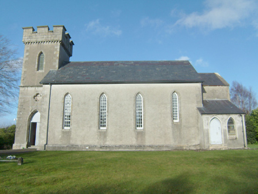 Glenties Church of Ireland Churchchurch/chapel · 1.6 mi
 St. Connell's Museum and Heritage CentreMuseum · 1.7 mi
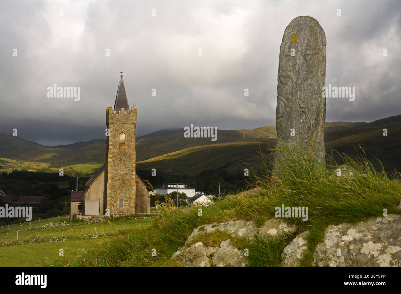 Clonconwal Stone RingfortFairy fort / stone ringfort · 1.7 mi
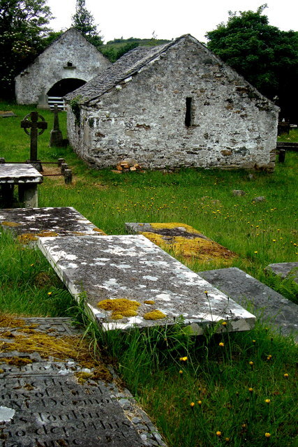 Inishkeel Graveyard near GlentiesGraveyard · 2.1 mi
 Wych ElmWych Elm · 3.7 mi
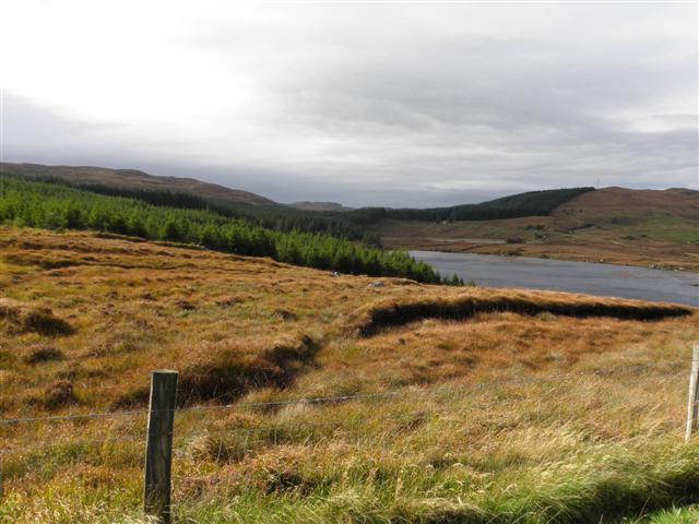 Derkmore Wood Nature ReserveNature reserve · 4.1 mi
 John DohertyMemorial · 4.1 mi
 Binn BhánMountain / peak · 4.2 mi
 Cloghmeen HillMountain / peak · 4.7 mi
 Bonny Glen Wood - Bonny Glen walkOfficial walking route · 5.0 mi
Other information
Photo: Credit not shown in the picture search · Rights wording not checked; contact us if this picture should be removed