
What is recorded here
Garvegort Glebe Fairy Fort vanished from fair pasture south of the Owentocker river before the last century ended. It was a ringfort, unclassified and unmarked, erased so completely that no stone or scar remained to argue against its loss. The land kept the shape of what it forgot, smooth under grass and silent under rain.
There is no trace of a 'Fort' destroyed here in the last century. It was located in fair pasture to the S of the Owentocker river.
The above description was derived from the 'Archaeological Survey of County Donegal. A description of the field antiquities of the County from the Mesolithic Period to the 17th century.' Compiled by: Brian Lacey with Eamon Cody, Claire Cotter, Judy Cuppage, Noel Dunne, Vincent Hurley, Celie O'Rahilly, Paul Walsh and Seán Ó Nualláin (Lifford: Donegal County Council, 1983). In certain instances the entries have been revised and updated.
Date of upload: 22 September 2008
This remains an important historical record, but the official description says the monument is no longer visible or has been destroyed. The monument record does not grant public access. Check the route and ask the landowner before entering private land.
- What survives
- No visible remains or recorded as destroyed
Places near here
 Gortnacart Glebe Stone RingfortFairy fort / stone ringfort · 707 yd
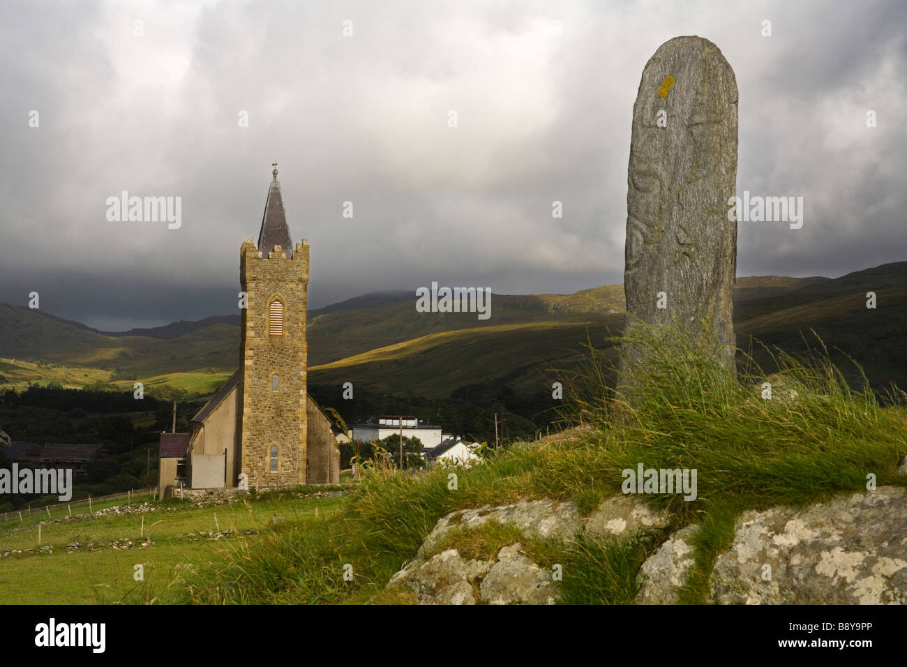 Clonconwal Stone RingfortFairy fort / stone ringfort · 1158 yd
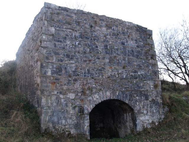 lime kilnlime kiln · 1.6 mi
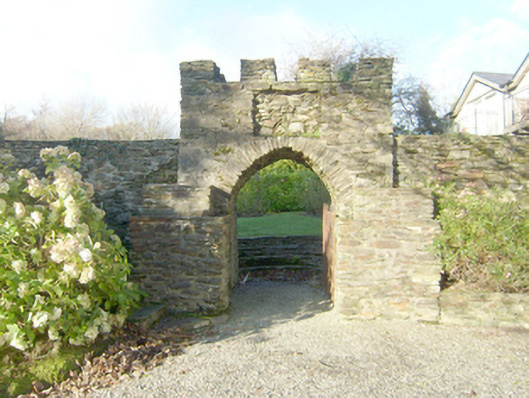 Wood Hillwalled garden · 1.9 mi
 John DohertyMemorial · 2.2 mi
 St. Connell's Museum and Heritage CentreMuseum · 3.6 mi
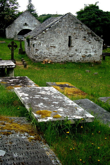 Inishkeel Graveyard near GlentiesGraveyard · 4.0 mi
 Wych ElmWych Elm · 4.5 mi
 Bonny Glen Wood - Bonny Glen walkOfficial walking route · 4.7 mi
 Bonny Glen WoodForest recreation place · 4.7 mi
 Binn BhánMountain / peak · 5.1 mi
 Killin HillMountain / peak · 5.8 mi
Other information
Photo: Credit not shown in the picture search · Rights wording not checked; contact us if this picture should be removed