What is recorded here
Pentagonal stone walls hold a medieval church above the River Nore, yet Victorian headstones dominate the soil. Earlier generations vanished without legible markers, leaving only empty air and modern memory. The graveyard preserves shape, not names.
On the brow of a S-facing slope with good views from SE-S-W. On the 1st (1839) ed. OS 6-inch map a rectangular church (KK029-005001-) is indicated roughly centrally placed within a rectangular graveyard (dims. 55m E-W x 40m N-S), which is heavily overgrown with scrub.
Compiled by: Jean Farrelly
Date of upload: 7 March 2022
The monument record does not grant public access. Check the route and ask the landowner before entering private land.
- What survives
- Recorded monument
Places near here
 CastleCastle, motte · 512 yd
 Enclosure in OldgrangeEnclosure · 632 yd
 IndicatedEnclosure · 1016 yd
 Coolroe Househouse · 1.0 mi
 Barleagh WoodForest · 1.2 mi
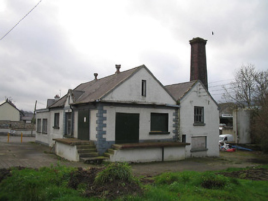 Graiguenamanagh Creamerycreamery · 1.3 mi
 The PoundMemorial · 1.4 mi
 Keating's WellSpring · 1.4 mi
 Monastic MillsMemorial · 1.5 mi
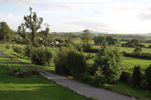 CroghanMountain / peak · 1.6 mi
 Tinahinch Castle (in Ruins)Castle, tower house · 1.6 mi
 The Burrow FieldForest · 2.2 mi