
What is recorded here
The fairy fort or earthen ringfort in Nodstown South, Toberadora is in County Tipperary, Ireland. It occupies a circular grassland area 35 metres north-south and 33 metres east-west on an east-facing slope. An earth and stone bank encloses the area and is best preserved at the east, with an outer ditch beyond it that the source records as not visible from south through west to north. A 3-metre entrance feature opens at the east.
In grassland on an E-facing slope of low rise of ground with good views in all directions. Circular area (int. diam. 35m N-S; 33m E-W) enclosed by an earth and stone bank (top Wth 1.7m; base Wth 3.5m; int. H 0.2-0.5m; ext. H 1-1.5m) best preserved at E and outer fosse (base Wth 2m; top Wth 4.5m; ext. D 0.3m) with entrance feature at E (Wth 3m), bank intersected by field boundary at S on an E-W axis and fosse not visible from S through W to N where it is intersected by a field boundary running on an E-W axis at S, modern road at N and field boundary at N as shown on the 1953-4 ed. OS 6-inch map.
Compiled by: Jean Farrelly
Date of upload: 26 August 2011
The monument record does not grant public access. Check the route and ask the landowner before entering private land.
- What survives
- Recorded monument
Places near here
 Enclosure in NodstownEnclosure · 754 yd
 Enclosure in ToberadoraEnclosure · 1064 yd
 Nodstown CastleCastle, tower house · 1195 yd
 Indicated, RaheenbegCastle, ringwork · 1.0 mi
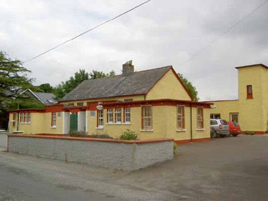 Gaile National Schoolschool · 1.2 mi
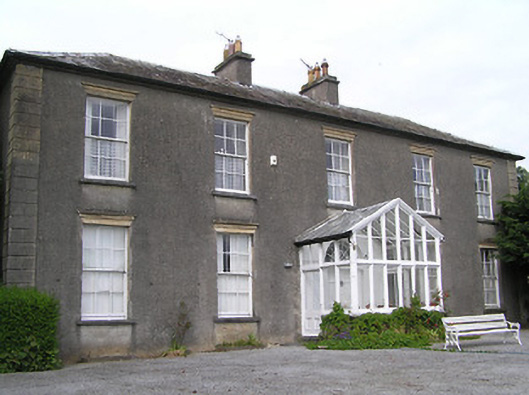 Gaile Househouse · 1.2 mi
 Killough Hill (site of)Mountain / peak · 2.4 mi
 Clonoulty HillMountain / peak · 3.6 mi
 Rock of CashelHeritage attraction · 4.8 mi
 Cormac's ChapelHeritage attraction · 4.8 mi
 The Rock Of CashelVisitor information · 4.8 mi
 Black mulberryBlack mulberry · 5.0 mi
Other information
Photo: Credit not shown in the picture search · Rights wording not checked; contact us if this picture should be removed