
What is recorded here
On top of a low rise of ground in grassland with good views in all directions overlooking Toberadora stream immediately to the S. Farmhouse and old farm buildings built into external face of bank of enclosure at SSE. Large circular area (int. diam. 83m N-S; 85m E-W) enclosed by an earth and stone bank (top Wth 1m; base Wth 2.5m; int. H 0.3m; ext. H 0.5m) reduced to a scarp (H 1-1.5m) from S through W to NW and outer fosse filled in at S creating a berm like feature which encloses the monument on the river side from SSE through S to W only, traces of a shallow fosse (Wth 3m; ext. D 0.1m) visible on other sides. Enclosing feature destroyed by modern field boundaries from W to NW where it is intersected by a field boundary running on a N-S axis. Possible entrance gap (Wth 4m) at WSW. Enclosure situated on cliff edge which provides defense on the river side where the ground steeply falls away to the stream. Large interior and cliff edge location are both features which differentiate this monument from the ringforts in the area. Traces of a semi-circular stone feature visible in the S quadrant of the interior, may be remains of a large circular structure. Lime-kiln built into external face of bank at S. No other features visible. Modern agricultural sheds and silage pit built into NE quadrant of enclosure on top of bank at E and protruding slightly into the interior of the enclosure. Visible on aerial photograph (GSI 8.4.1974 S. 584/3) and described in 1975 as a large sub-rectangular enclosure sub-divided internally by low banks in the NW and SW quadrants (Cahill 1975). These internal divisions are no longer visible and have been eroded over time by agricultural activity within the enclosure.
Compiled by: Jean Farrelly
Date of upload: 26 August 2011
A local fairy fort (ringfort/rath); wider significance not recorded.
The monument record does not grant public access. Check the route and ask the landowner before entering private land.
- What survives
- Recorded monument
Places near here
 Nodstown CastleCastle, tower house · 1296 yd
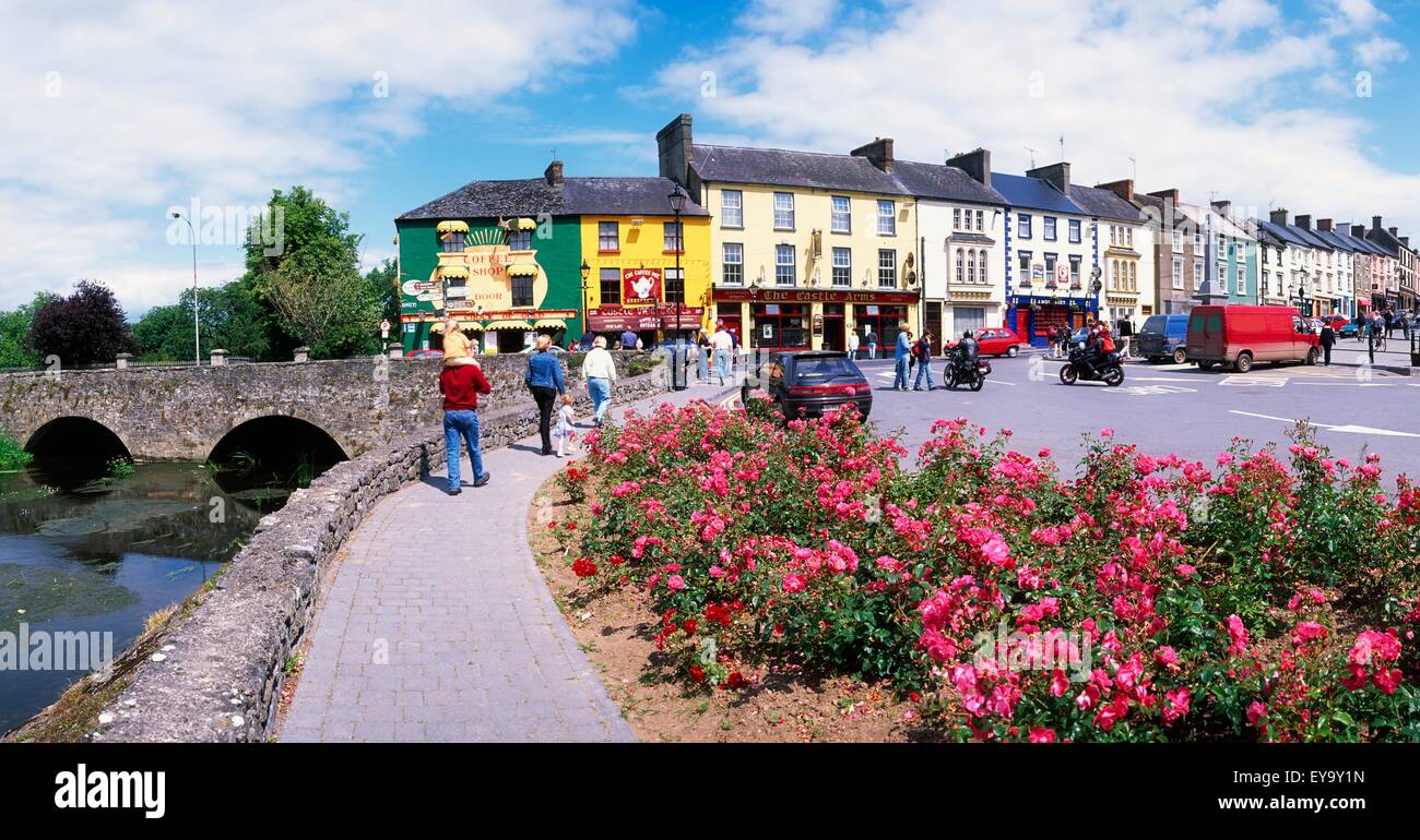 ToberaphaddreenHoly well · 1337 yd
 Enclosure in NodstownEnclosure · 1621 yd
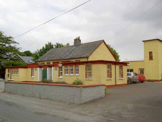 Gaile National Schoolschool · 1.1 mi
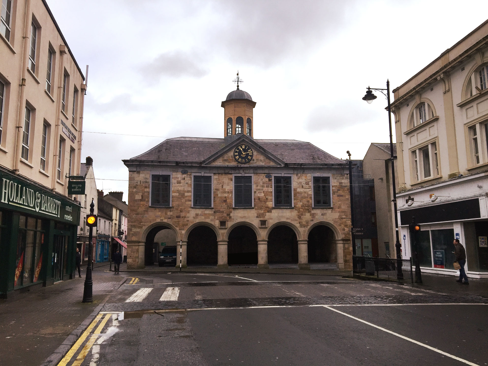 IndicatedCastle, ringwork and bailey · 1.1 mi
 Twoford Bridgesbridge · 1.3 mi
 Killough Hill (site of)Mountain / peak · 2.5 mi
 Clonoulty HillMountain / peak · 3.2 mi
 Drum WoodWood · 4.5 mi
 Cormackstown Heritage CentreMuseum · 4.6 mi
 Gift Horse GalleryGallery · 5.0 mi
 Wildlife CorridorWood · 5.7 mi
Other information
Photo: Credit not shown in the picture search · Rights wording not checked; contact us if this picture should be removed