
What is recorded here
In grassland with good views in all directions. No surface remains visible. Depicted as a semi-circular enclosure on latest ed. OS 6-inch map with field boundary intersecting enclosure S on a NW-SE axis, this field boundary no longer survives and enclosure may have been levelled when the field boundary was being removed. On the 1st ed. OS 6-inch map (1830) the enclosure (int. diam. c. 30m N-S) is shown as a circular enclosure with field boundary running up to monument at NW and SE while on the 2nd (1953-4) ed. the S half of the enclosure is no longer depicted, having been levelled between 1838 and 1953-4. A sketch plan and profile of the N half of the monument (int. diam. c. 24m) drawn in the 1950s shows an inner and outer bank (both Wth c. 4.2m; H c. 0.6m) with an intervening fosse (Wth c. 2.4m) (OS Field Memorandums). The N half had been levelled by 1982 (Cahill, vol. 2).
Compiled by: Jean Farrelly
Date of upload: 26 August 2011
The monument record does not grant public access. Check the route and ask the landowner before entering private land.
- What survives
- Recorded monument
Places near here
 IndicatedFairy fort / earthen ringfort · 754 yd
 Nodstown CastleCastle, tower house · 990 yd
 Indicated, RaheenbegCastle, ringwork · 1336 yd
 Catholic Church of the Immaculate Conceptionchurch/chapel · 1511 yd
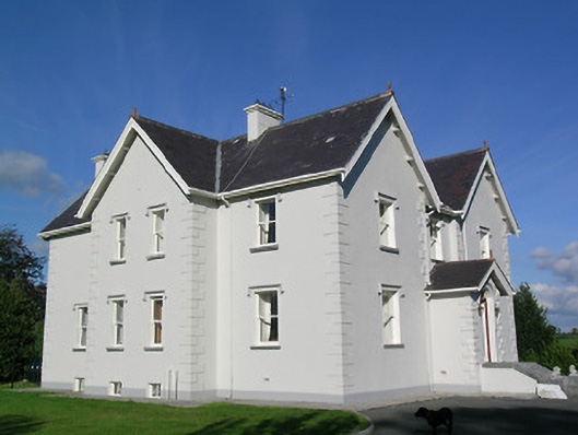 Synone Househouse · 1526 yd
 ToberaphaddreenHoly well · 1611 yd
 Ballyknock HillMountain / peak · 3.6 mi
 Clonoulty HillMountain / peak · 3.6 mi
 Rock of CashelHeritage attraction · 4.4 mi
 Cormac's ChapelHeritage attraction · 4.4 mi
 The Rock Of CashelVisitor information · 4.4 mi
 Black mulberryBlack mulberry · 4.6 mi
Other information
Photo: Credit not shown in the picture search · Rights wording not checked; contact us if this picture should be removed