What is recorded here
In grassland on an E-facing slope of low rise of ground with good views in all directions. Circular area (int. diam. 35m N-S; 33m E-W) enclosed by an earth and stone bank (top Wth 1.7m; base Wth 3.5m; int. H 0.2-0.5m; ext. H 1-1.5m) best preserved at E and outer fosse (base Wth 2m; top Wth 4.5m; ext. D 0.3m) with entrance feature at E (Wth 3m), bank intersected by field boundary at S on an E-W axis and fosse not visible from S through W to N where it is intersected by a field boundary running on an E-W axis at S, modern road at N and field boundary at N as shown on the 1953-4 ed. OS 6-inch map.
In grassland on an E-facing slope of low rise of ground with good views in all directions. Circular area (int. diam. 35m N-S; 33m E-W) enclosed by an earth and stone bank (top Wth 1.7m; base Wth 3.5m; int. H 0.2-0.5m; ext. H 1-1.5m) best preserved at E and outer fosse (base Wth 2m; top Wth 4.5m; ext. D 0.3m) with entrance feature at E (Wth 3m), bank intersected by field boundary at S on an E-W axis and fosse not…
From the National Monuments Service (Archaeological Survey of Ireland) record TS053-003
The monument record does not grant public access. Check the route and ask the landowner before entering private land.
- What survives
- Recorded monument
Places near here
Photo credits
- National Inventory of Architectural Heritage
- Mike Searle, Wikimedia Commons · CC BY-SA 2.0
- Liam Hughes from Milwaukee, WI, USA, Wikimedia Commons · CC BY 2.0
- Steven Brown, Geograph · Creative Commons Attribution-ShareAlike 2.0
- N Chadwick, Geograph · CC BY-SA 2.0
- Neil Theasby, Geograph · CC BY-SA 2.0
- Maker named on the Wikimedia Commons picture page · Public domain
Enclosure in NodstownEnclosure · 754 yd Gaile National SchoolSchool · 1.2 miGaile HouseHouse · 1.2 miSynone CastleCastle · 1.6 miCastle in RuinsCastle, tower house · 2.2 miGrave YardGraveyard · 2.3 miKillough Hill (site of)Mountain / peak · 2.4 miRock of CashelHeritage attraction · 4.8 miCormac's ChapelHeritage attraction · 4.8 miThe Rock Of CashelVisitor information · 4.8 miBlack mulberry5.0 miBlack mulberry5.0 mi
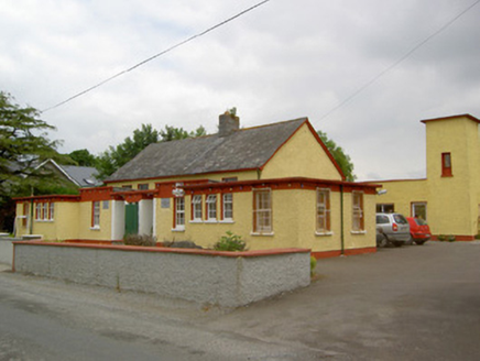 Gaile National SchoolSchool · 1.2 mi
 Gaile HouseHouse · 1.2 mi
 Synone CastleCastle · 1.6 mi
 Castle in RuinsCastle, tower house · 2.2 mi
 Grave YardGraveyard · 2.3 miKillough Hill (site of)Mountain / peak · 2.4 mi
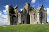 Rock of CashelHeritage attraction · 4.8 mi
 Cormac's ChapelHeritage attraction · 4.8 mi
 The Rock Of CashelVisitor information · 4.8 mi
 Black mulberry5.0 miBlack mulberry5.0 mi
More archaeology and monuments in County Tipperary · All of County Tipperary
What do you know about this place?