What is recorded here
Katherine McCormick identified the Moylagh ringfort on satellite imagery, revealing a subcircular grass platform thirty-five metres across at the western edge of a high plateau. A broad earthen bank surrounds the space, yet no entrance breaks the line. The missing doorway suggests the fort belonged to another world, where walls did not need gaps because fairies never asked permission to enter.
Visible on Bing images (c. 2013), this feature was first brought to attention by Katherine McCormick. It is located at the W edge of a fairly high plateau and at the crest of a NW-facing slope. Subcircular grass-covered area (dims 35m NE-SW; c. 30m NW-SE) defined by an earthen bank (Wth 5-5.3m; int. H 0.2m; ext. H 0.3m) N-E and S-W. There is no identifiable entrance.
See the attached view from Digital Globe (c. 2013)
Compiled by: Michael Moore
Date of revised upload: 25 May, 2016
The monument record does not grant public access. Check the route and ask the landowner before entering private land.
- What survives
- Recorded monument
Places near here
 IndicatedEnclosure, large enclosure · 1058 yd
 Moylagh FortFairy fort / earthen ringfort · 1094 yd
 Moat CastleCastle, unclassified · 1226 yd
 European BeechEuropean Beech · 1545 yd
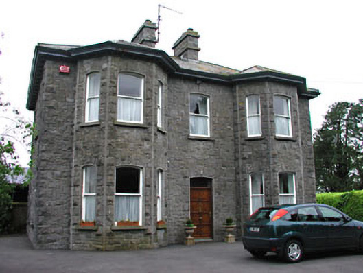 Saint Mary'spresbytery/parochial/curate's house · 1643 yd
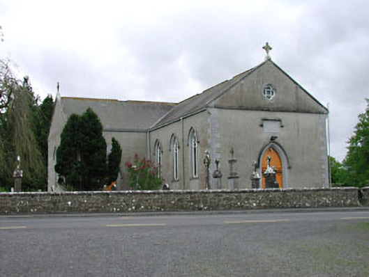 Saint Mary's Catholic Churchchurch/chapel · 1745 yd
 Green CastleCastle, unclassified · 1.9 mi
 Zip WireHeritage attraction · 1.9 mi
 European YewEuropean Yew · 2.0 mi
 Seafin HillMountain / peak · 2.0 mi
 C11Named rock · 2.6 mi
 Carnbane WestMountain / peak · 2.6 mi