
What is recorded here
Located around the top of a low E-W ridge in an undulating landscape. It is depicted only on the 1908 edition of the OS 6-inch map as a large subcircular field, and is known locally as a ‘fort’. This is a large grass-covered area (dims 110m N-S; 105m E-W) defined by a wide grass-covered bank (Wth c. 10m; H c. 0.2-0.5m) that is incorporated into a field bank (at E: Wth of base 4.5m; int. H 0.6m; ext. H 1.3m) and hedge ENE-SSW. There may an wide entrance under the field bank at ESE.
The above description is derived from the published 'Archaeological Inventory of County Meath' (Dublin: Stationery Office, 1987). In certain instances the entries have been revised and updated in the light of recent research.
Compiled by: Michael Moore
The monument record does not grant public access. Check the route and ask the landowner before entering private land.
- What survives
- Recorded monument
Places near here
 IndicatedFairy fort / earthen ringfort · 335 yd
 Enclosure in Baltrasna (fore By.)Enclosure · 1116 yd
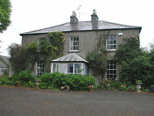 Killeagh Houserectory/glebe/vicarage/curate's house · 1.1 mi
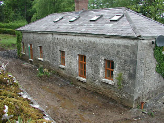 worker's houseworker's house · 1.2 mi
 Moat CastleCastle, unclassified · 1.3 mi
 CastleCastle, unclassified · 1.9 mi
 European BeechEuropean Beech · 1.9 mi
 Zip WireHeritage attraction · 2.2 mi
 European YewEuropean Yew · 2.3 mi
 Mount FortuneMountain / peak · 2.3 mi
 Memorial CrossMemorial · 2.6 mi
 Seafin HillMountain / peak · 2.6 mi
Other information
Photo: Credit not shown in the picture search · Rights wording not checked; contact us if this picture should be removed