
What is recorded here
Castle stood on a gravel hillock in Hammondstown and Tonaghmore, visible on Larkin's Map of Westmeath in 1808 but reduced to an irregular mound by 1911. Modern quarrying has since levelled the site entirely, erasing the last physical trace of the place. What remained was a circular enclosure on older maps, perhaps the shadow of a tower house that once watched the land before stone-hungry progress swallowed it whole.
Situated on top of a natural gravel hillock which is now completely levelled due to modern quarrying activities. Modern quarry located on site of monument. Depicted as a circular-shaped enclosure or earthwork on the 1837 ed. OS 6-inch map and as an irregular shaped mound partially quarried away on the revised 1911 ed. OS 25-inch map. This earthwork may have been the site of a castle or tower house which is depicted standing at this location on Larkin's Map of Westmeath dating from 1808 (NLI, MS 46,580).
Compiled by: Frank Coyne & Caimin O'Brien
Date of upload: 18 November 2016
The monument record does not grant public access. Check the route and ask the landowner before entering private land.
- What survives
- Recorded monument
Places near here
 IndicatedCastle, motte and bailey · 516 yd
 EnclosureEnclosure, large enclosure · 1241 yd
 LissardFairy fort / earthen ringfort · 1367 yd
 Hilltown Castle (in ruins)Castle, tower house · 1.1 mi
 mill (water)mill (water) · 1.1 mi
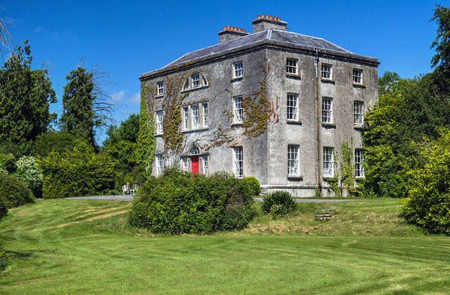 Hilltown Housecountry house · 1.2 mi
 Mullaghmeen ForestPicnic place · 1.3 mi
 European BeechEuropean Beech · 1.6 mi
 Mullaghmeen Red WalkWalking route · 1.7 mi
 Mullaghmeen White WalkWalking route · 2.0 mi
 MullaghmeenMountain / peak · 2.3 mi
 Enclosure in TonashammerEnclosure · 1501 yd
Other information
Photo: Credit not shown in the picture search · Rights wording not checked; contact us if this picture should be removed