
What is recorded here
Situated on the summit of a hillock in woodland plantation that is depicted on 1837 ed. OSi 6-inch map. Circular shaped area enclosed by a low earth and stone bank (Wth 1.4m; ext. H 1m; int. H 0.4m) best preserved at E and W. Interior covered with trees making detailed examination impossible.
Compiled by: Caimin O'Brien
Date of upload: 4 August 2021
A local fairy fort (ringfort/rath); wider significance not recorded.
The monument record does not grant public access. Check the route and ask the landowner before entering private land.
- What survives
- Recorded monument
Places near here
 Hilltown Castle (in ruins)Castle, tower house · 1039 yd
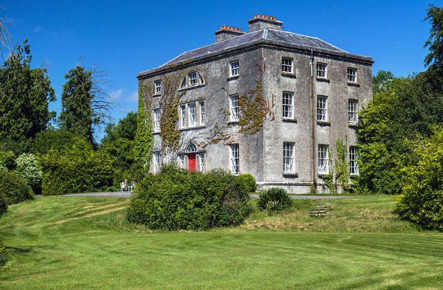 Hilltown Housecountry house · 1090 yd
 CastleCastle, unclassified · 1501 yd
 Enclosure in Annagh (fore By.)Enclosure · 1534 yd
 Field system in Annagh (fore By.)Field system · 1553 yd
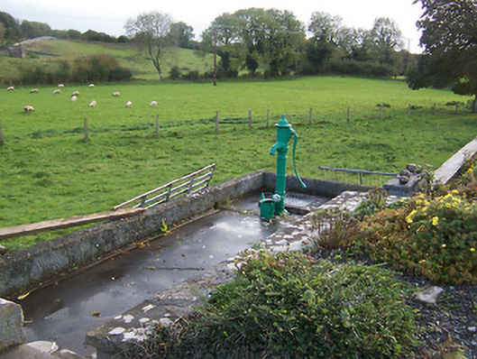 water pumpwater pump · 1570 yd
 European BeechEuropean Beech · 1.7 mi
 Mullaghmeen ForestPicnic place · 2.0 mi
 Mullaghmeen Red WalkWalking route · 2.4 mi
 Mullaghmeen White WalkWalking route · 2.7 mi
 Seafin HillMountain / peak · 3.3 mi
 Rock of CurryCliff · 3.6 mi
Other information
Photo: Credit not shown in the picture search · Rights wording not checked; contact us if this picture should be removed