
What is recorded here
The enclosure (ME014-023001-) is within a field system covering about 5 acres (c. 2 ha) of pasture. It consists of small irregularly shaped fields (dims c. 30m x c. 20m) defined by low banks or scarps.
The above description is derived from the published 'Archaeological Inventory of County Meath' (Dublin: Stationery Office, 1987). In certain instances the entries have been revised and updated in the light of recent research.
Compiled by: Michael Moore
Date of revision: 22 November 2018
The monument record does not grant public access. Check the route and ask the landowner before entering private land.
- What survives
- Recorded monument
Places near here
 Enclosure in Annagh (fore By.)Enclosure · 47 yd
 Settlement desertedSettlement deserted, medieval · 936 yd
 European BeechEuropean Beech · 1651 yd
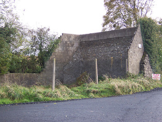 handball alleyhandball alley · 1686 yd
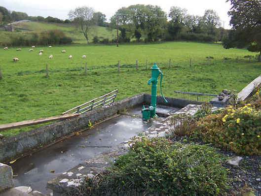 water pumpwater pump · 1.0 mi
 Hilltown Castle (in ruins)Castle, tower house · 1.2 mi
 Moat CastleCastle, unclassified · 2.0 mi
 Seafin HillMountain / peak · 2.5 mi
 Mullaghmeen ForestPicnic place · 2.9 mi
 Zip WireHeritage attraction · 3.4 mi
 European YewEuropean Yew · 3.4 mi
 Mount FortuneMountain / peak · 3.7 mi
Other information
Photo: Credit not shown in the picture search · Rights wording not checked; contact us if this picture should be removed