What is recorded here
No visible fort remains at Annagh, though local tradition still calls the flattened ground a fairy fort. The earth has likely been taken or levelled, erasing the boundary that once marked human ownership. What is missing is not imagination but evidence, leaving behind a clean void where a living place should stand.
Situated on top of a ridge in an undulating low-lying landscape. This is a raised subcircular and grass-covered area (diam. 24m NNE-SSW; 21m WNW-ESE) defined by a scrub-covered earthen bank (Wth of base 6-6.5m; int. H 0.2-0.3m; ext. H 1.3-1.9m) separated by a fosse (Wth of top 5.5-6m; Wth of base 1m; ext. D 0.2-0.4m) from an outer bank (Wth of base 3m; ext. H 1m) that only survives SW-N-E. The widened entrance through the inner (Wth of base 4m) bank and a causeway (Wth of top 2.6m; H 0.35m) are at E. The monument has become overgrown since 1969 (Digitalmap).
The above description is derived from the published 'Archaeological Inventory of County Meath' (Dublin: Stationery Office, 1987). In certain instances the entries have been revised and updated in the light of recent research.
Compiled by: Michael Moore
Date of revision: 22 November 2018
The monument record does not grant public access. Check the route and ask the landowner before entering private land.
- What survives
- Recorded monument
Places near here
 Enclosure in Annagh (fore By.)Enclosure · 153 yd
 Field system in Annagh (fore By.)Field system · 177 yd
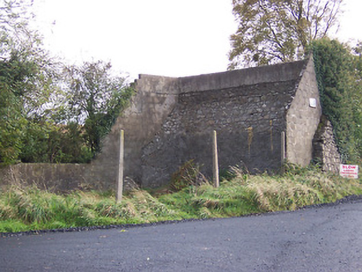 handball alleyhandball alley · 1639 yd
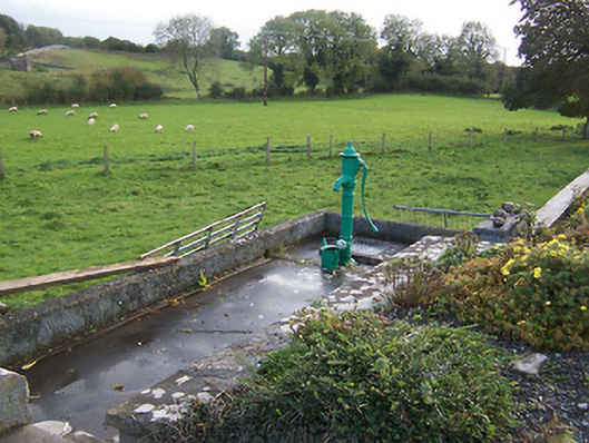 water pumpwater pump · 1704 yd
 European BeechEuropean Beech · 1.0 mi
 Hilltown Castle (in ruins)Castle, tower house · 1.1 mi
 Moat CastleCastle, unclassified · 2.1 mi
 Seafin HillMountain / peak · 2.6 mi
 Mullaghmeen ForestPicnic place · 2.8 mi
 Zip WireHeritage attraction · 3.4 mi
 European YewEuropean Yew · 3.5 mi
 Mount FortuneMountain / peak · 3.7 mi