What is recorded here
Tucked into the S-foot of a short, low but steep-sided, N-facing slope. Visible on an aerial photograph (DoD, 1999). Comprises a sub circular, grass-covered, earthen mound with occasional stones projecting through the sod cover (base diams. 11.1m E-W; 9.4m N-S; upper surface diams. 3.6m N-S; 2.1m E-W; H 0.8m at W-2.2m at E.). A concrete gun emplacement, 30m to the NNE, overlooks the site, which may also be military in function.
Compiled by: Gearóid Conroy
Date of upload: 10 June 2011
A Neolithic earthen mound; its significance is not clearly established but may relate to early ceremonial or funerary practices.
The monument record does not grant public access. Check the route and ask the landowner before entering private land.
- What survives
- Recorded monument
Places near here
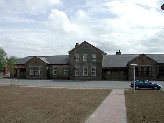 library/archivelibrary/archive · 1260 yd
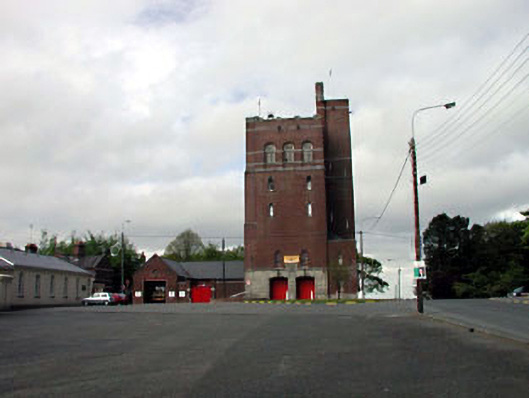 Curragh Camp Fire Stationfire station · 1418 yd
 Gibbet RathFairy fort / earthen ringfort · 1504 yd
 Enclosure in Curragh (kildare Ed)Enclosure · 1524 yd
 TumulusCastle, motte and bailey · 1.5 mi
 CastleCastle, unclassified · 1.7 mi
 Pollardstown Fen Nature ReserveNature reserve · 2.2 mi
 Newbridge SilverwareMuseum · 2.2 mi
 ElderElder · 2.2 mi
 Saint Fiachra's GardenHeritage attraction · 2.6 mi
 Grand Canal WayVisitor information · 7.8 mi
 Bithia Mary CrokerMemorial · 7.8 mi