
What is recorded here
Shown on the 1st ed. (1838) of the OS 6-inch map as a circular enclosure (est. diam. c. 50m), similar to two surviving ringbarrows nearby (KD023-043---- and KD023-044----), but not recorded on the latest ed. (1941) of the OS 6-inch map. No visible surface traces survive and the area is partially occupied by a military installation.
Compiled by: Gearóid Conroy
Date of upload: 10 June 2011
The monument record does not grant public access. Check the route and ask the landowner before entering private land.
- What survives
- Recorded monument
Places near here
 Gibbet RathFairy fort / earthen ringfort · 327 yd
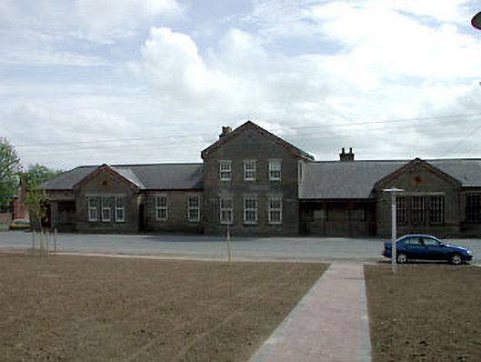 library/archivelibrary/archive · 1579 yd
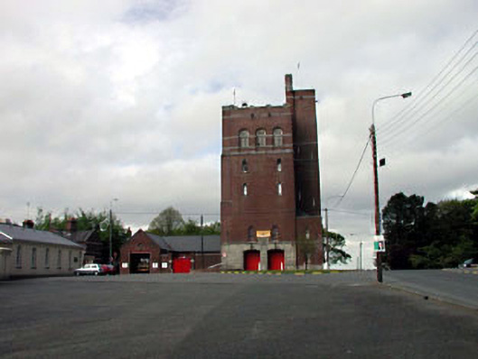 Curragh Camp Fire Stationfire station · 1.2 mi
 St. Johns WellHoly well · 1.7 mi
 Saint Fiachra's GardenHeritage attraction · 1.8 mi
 Tully Ho.Castle, unclassified · 1.8 mi
 Bee-bee treeBee-bee tree · 1.8 mi
 Dawn RedwoodDawn Redwood · 1.9 mi
 Irish National Stud and Japanese GardensHeritage attraction · 1.9 mi
 CastleCastle, motte · 2.2 mi
 Bithia Mary CrokerMemorial · 7.6 mi
 Grand Canal WayVisitor information · 8.4 mi
Other information
Photo: Credit not shown in the picture search · Rights wording not checked; contact us if this picture should be removed