
What is recorded here
On a low rise just W of the Curragh Military Camp, with excellent views over the surrounding area. A large circular area (diam. c. 56m) is enclosed by a very substantial earthen bank (int. H c. 3m; Wth c. 15m; ext. H c. 6m), and a broad outer fosse (Wth c. 6m; D c. 2m), with an entrance at E. The enclosing bank is disturbed by the insertion of several military pill-boxes. (O'Riordáin 1950, 276: Site Y; scaled section N-S Plate XXVII)
Compiled by: Gearóid Conroy
Date of upload: 10 June 2011
Gibbet Rath is a large early-medieval ringfort located on the Curragh, likely dating to between the 6th and 10th centuries. It is associated with local folklore referring to "Gibbet," possibly linked to historical or mythical hangings, though specific traditions are not well documented.
The monument record does not grant public access. Check the route and ask the landowner before entering private land.
- What survives
- Recorded monument
Places near here
 Enclosure in Curragh (kildare Ed)Enclosure · 327 yd
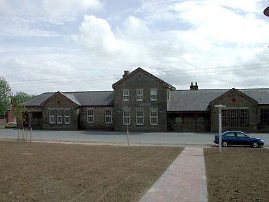 library/archivelibrary/archive · 1.0 mi
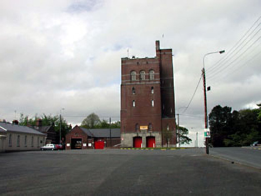 Curragh Camp Fire Stationfire station · 1.3 mi
 Enclosure in Curragh (ballysax East Ed)Enclosure · 1.4 mi
 Saint Fiachra's GardenHeritage attraction · 1.7 mi
 Tully Ho.Castle, unclassified · 1.8 mi
 Bee-bee treeBee-bee tree · 1.8 mi
 Dawn RedwoodDawn Redwood · 1.8 mi
 Irish National Stud and Japanese GardensHeritage attraction · 1.8 mi
 CastleCastle, motte · 2.1 mi
 Bithia Mary CrokerMemorial · 7.4 mi
 Grand Canal WayVisitor information · 8.3 mi
Other information
Photo: Credit not shown in the picture search · Rights wording not checked; contact us if this picture should be removed