What is recorded here
This record refers to a mound of uncertain significance, which was recorded by Knox (1911, 211) as follows: ‘In Cloonbullig Townland, one mile south of Ballyhaunis, a low natural mound, rising out of a marsh, with an earthen fence like a piece of rampart partly encircling it on the south side, stands in a small field called Parkacashlaun. A similar small mound [MA103-046002-] also rising out of the marsh is near it to the south-east, and is supposed to have been inhabited. On rising ground, 100m to north, part of a small castle [MA103-047----] stood within living memory. Near it is an oblong rectangular enclosure [MA103-048001-] used for haggards. The enclosing bank may be ancient; a skeleton [MA103-048002-] was found in it and re-buried. The skirt of this ground to the north is scarped in a straight line along the edge of the marsh of the Owencam, but it is a scarp of only 3 feet. About 130m to W in an angle of the Owencam is an earthen fort like a small rath [MA103-007----], 30 yards in diameter, with a scarp of 10 feet on the north side above the marsh.’
Compiled by: Jane O’Shaughnessy
Date of upload: 15 November 2022
The monument record does not grant public access. Check the route and ask the landowner before entering private land.
- What survives
- Recorded monument
Places near here
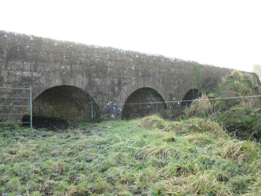 Agloragh Bridgebridge · 1298 yd
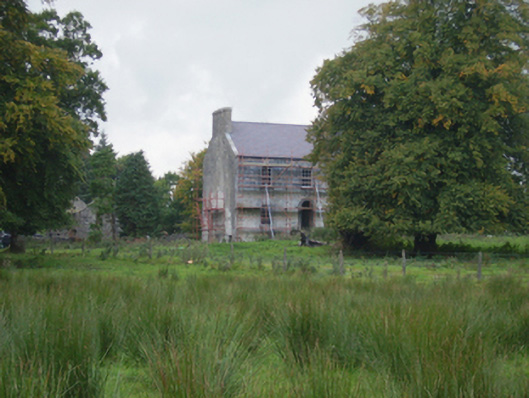 Holywell Housefarm house · 1324 yd
 Cross in Holywell LowerCross · 1421 yd
 Font in ChurchparkFont · 1701 yd
 IndicatedCastle, motte · 1.8 mi
 CastleCastle, unclassified · 3.5 mi
 Oak WoodForest · 8.8 mi
 Land of the GiantsHeritage attraction · 9.2 mi
 Geoffrey's WoodForest · 9.7 mi
 Mass RockNamed rock · 16 mi
 Church in RuinsChurch · 1755 yd
 St. Patricks StoneRitual site, holy/saint's stone · 1.1 mi