What is recorded here
In pasture, on gentle SSE-facing slope. Part of moated site complex, this moated site adjoins moated site (TS068-007001-) to W. Rectangular area (dims. 26m N-S; 23.5 E-W) defined by inner earthen scarp (Wth 4m; H 0.65m) visible on W side (L c. 24m) and poorly defined on N (L c. 16m), E (L c. 26m) and S (L c. 26m) sides, where it is levelled out into fosse. Intervening fosse (Wth 7m; D 1.2m) visible on W, N and E sides, but in-filled at E-end of N-side and N-end of E-side, where inner scarp pushed into it. External bank (int. Wth 5.5m; int. H. 0.65m; ext. H 0.7m) visible on N and E sides and a scarp on S-side. Area disturbed where there is a large depression at the SW corner. External bank is shared with conjoined moated site (TS068-007001-) on W-side. Intervening fosse (Wth 2m; D 0.5m) visible on N-side and N-half of E-side, although levels out S-half of E-side. Two large depressions in fosse area on S-side are separated by a central causeway (Wth c. 2.2m). Depression (dims. c. 8m N-S; c. 14m E-W) to W is defined by outer edge of the steep inner scarp to N, which is covered in briars. Causeway defines depression to E and gentle edge of depression defines it to S and sharper edge to W (D c. 1m). Second depression (c. 6m N-S; c. 18m E-W) to E is curvilinear in plan and is defined by steep inner scarp of monument to N, gentle edges of depression to E and S and causeway to W. W-depression is waterlogged in centre and E has a little water within. External bank (int. Wth 3.2m; int. H 0.6m; ext. H 0.2m) visible only on N-side and traces at N-end of E-side. Narrow gaps in banks at corners in places and in centre of N-banks possibly allowed flow of water around fosses between banks. Interior of monument tends downslope to E and S with slight linear depression (long-axis NE-SW) crossing diagonally which may represent a levelled field boundary. Perfectly formed mound (dims. c. 4m NE-SW; c. 0.6m NW-SE; H c. 0.2m) is adjacent to S of latter, in SW corner. Evidence of leat system around exterior of monument on E and S sides, although not clearly evident on N side, probably due to disturbance by track way. Moated site (TS068-007002-) to SW and field system (TS068-007004-) to S and SE.
Compiled by: Jean Farrelly
Date of upload: 26 August 2011
The monument record does not grant public access. Check the route and ask the landowner before entering private land.
- What survives
- Recorded monument
Places near here
 Enclosure in Thomastown Demesne SouthEnclosure · 181 yd
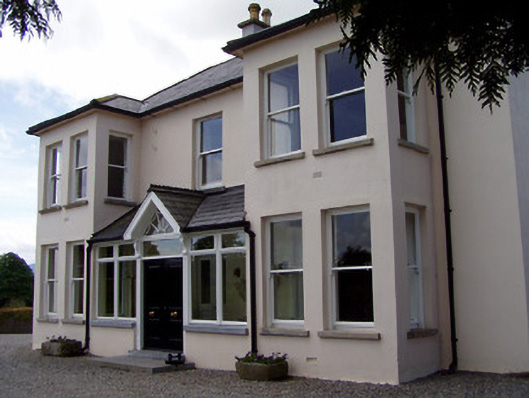 Rathduff Househouse · 472 yd
 IndicatedEnclosure, large enclosure · 792 yd
 CastleCastle, ringwork · 1199 yd
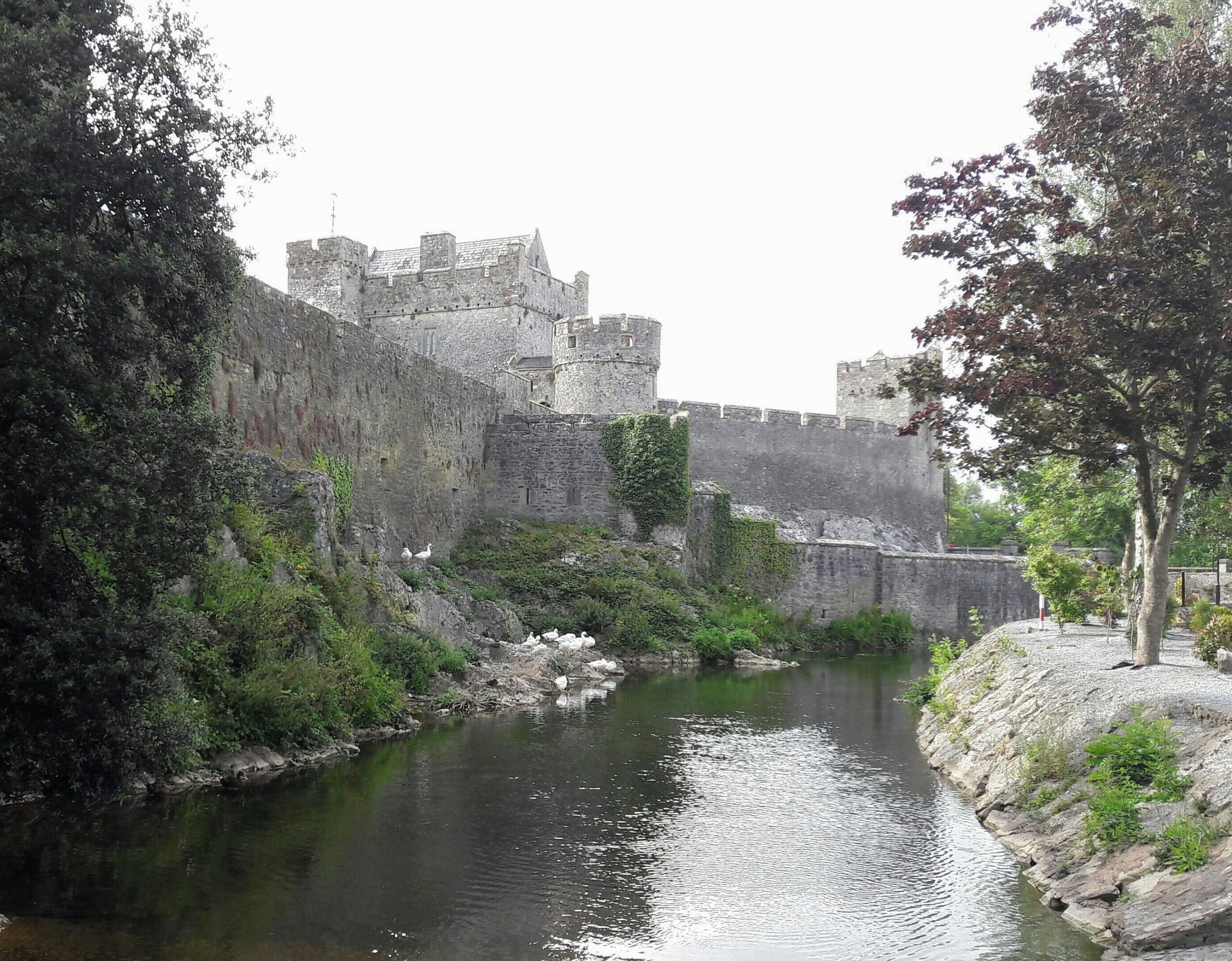 Ballymacady CastleCastle · 1367 yd
 Templegobban (in ruins)Church · 1530 yd
 Athassel PrioryHeritage attraction · 1.7 mi
 European ashEuropean ash · 3.4 mi
 Bansha ForestForest · 4.4 mi
 SturrakeenMountain / peak · 5.9 mi
 The RockViewpoint · 6.2 mi
 Laghtshanaquilla North-East TopMountain / peak · 6.4 mi