
What is recorded here
Castle, ringwork in Thomastown Demesne South is a raised oval area about thirty-four metres north-south and forty metres east-west, bounded by an earthen scarp six-point-three metres wide and two-point-two-five metres high. Its south edge holds a slight depression that may mark the entrance, while cattle still poison the level interior and a round feeder sits at the centre. A single hawthorn and a protruding limestone slab at the west bank suggest the ringwork has watched this demesne since before the nearby towerhouse or medieval church gave the land its later shape.
Raised oval area (dims. c. 34m N-S; c. 40m E-W) defined by earthen scarp (Wth c. 6.3m; H 2.25m). Possible remains of entrance at S, where there is a slight depression in scarp. Interior generally level and tilts slightly downslope to S with prevalent slope, poached by cattle and round feeder in centre. Single hawthorn and large piece of limestone protrudes from ground at base of W bank. A towerhouse (TS068-032----) is located c. 250m to SW and a medieval church (TS068-001001-) is located c. 700m to the N.
Compiled by: Jean Farrelly
Date of upload: 26 August 2011
The monument record does not grant public access. Check the route and ask the landowner before entering private land.
- What survives
- Recorded monument
Places near here
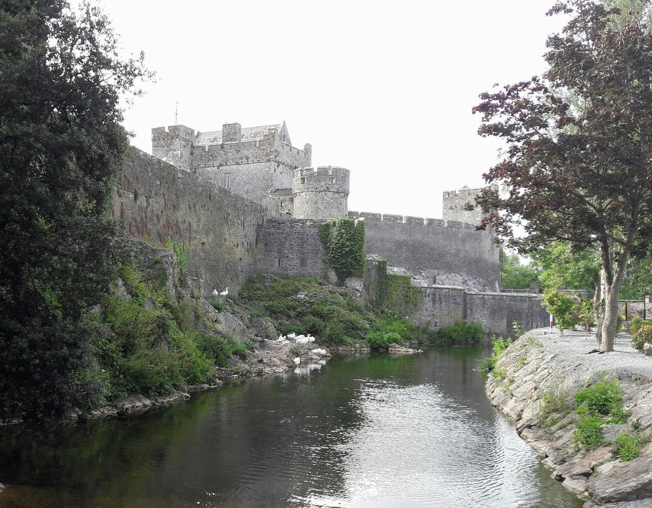 Ballymacady CastleCastle · 310 yd
 Enclosure in Thomastown Demesne SouthEnclosure · 334 yd
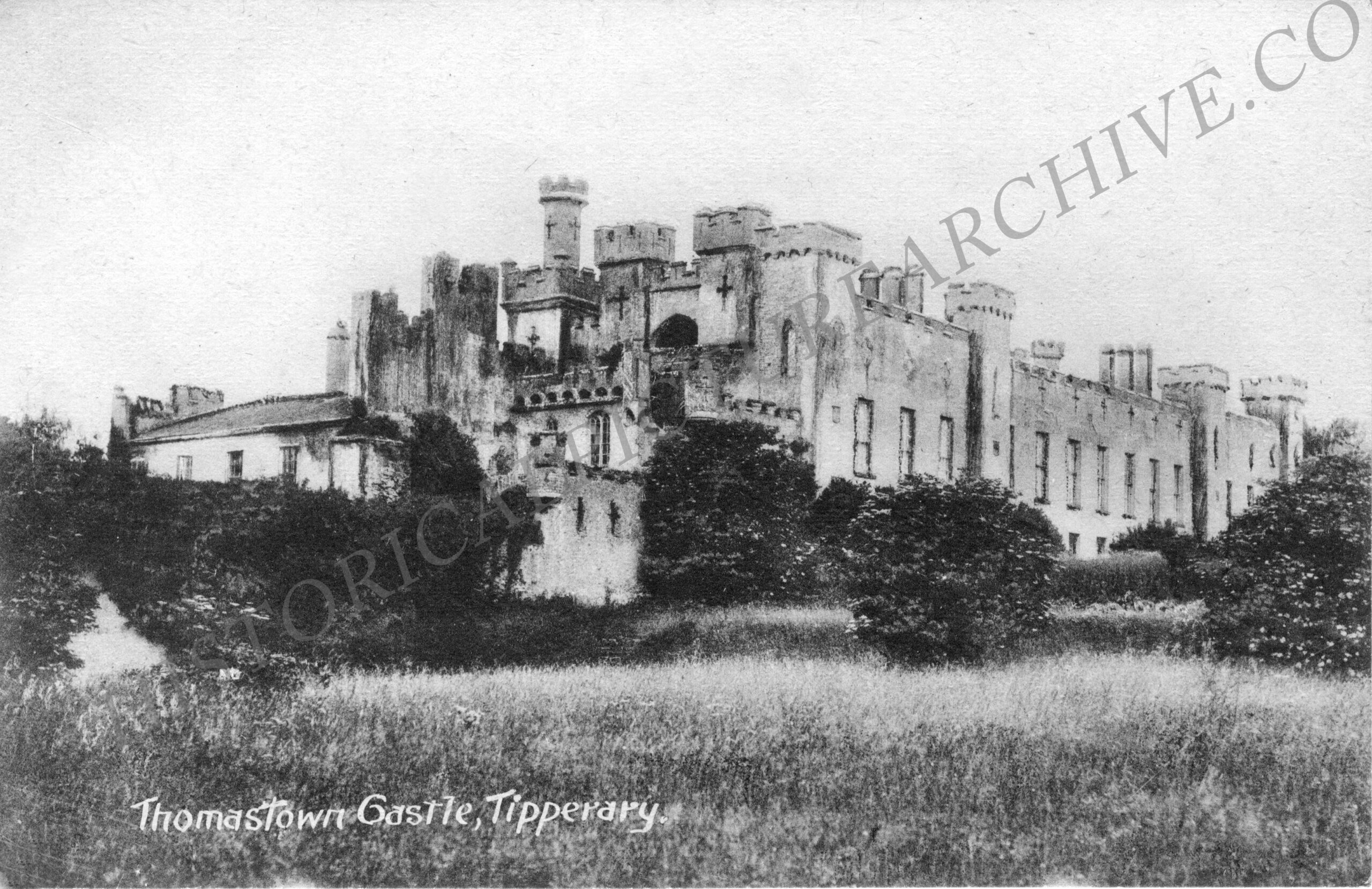 Thomastown Church (in ruins)Church · 765 yd
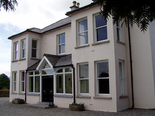 Rathduff Househouse · 905 yd
 Enclosure in Thomastown Demesne NorthEnclosure · 927 yd
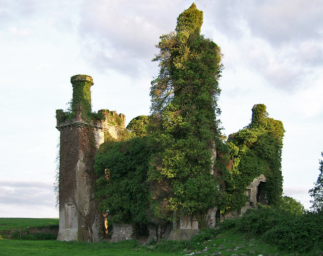 Thomastown CastleCastle · 1693 yd
 Athassel PrioryHeritage attraction · 2.3 mi
 European ashEuropean ash · 2.7 mi
 Bansha ForestForest · 3.8 mi
 I.R.A. 3rd. Tipperary Brigade MemorialMemorial · 4.5 mi
 The RockViewpoint · 5.6 mi
 SturrakeenMountain / peak · 5.8 mi
Other information
Photo: Credit not shown in the picture search · Rights wording not checked; contact us if this picture should be removed