
What is recorded here
In pasture, on gentle SE-facing slope. Slight visual surface trace of roughly circular area defined by levelled bank WSW-E-S-WSW. No visual surface trace NW-E-S-WSW. Depicted on latest edition OS 6-inch map as sub-oval enclosure (dims. c. 40m N-S; c. 55m E-W). Moated site possible (TS068-003----) c. 340m to N.
Compiled by: Jean Farrelly
Date of upload: 26 August 2011
The monument record does not grant public access. Check the route and ask the landowner before entering private land.
- What survives
- Recorded monument
Places near here
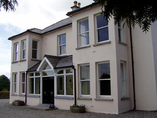 Rathduff Househouse · 494 yd
 IndicatedEnclosure, large enclosure · 569 yd
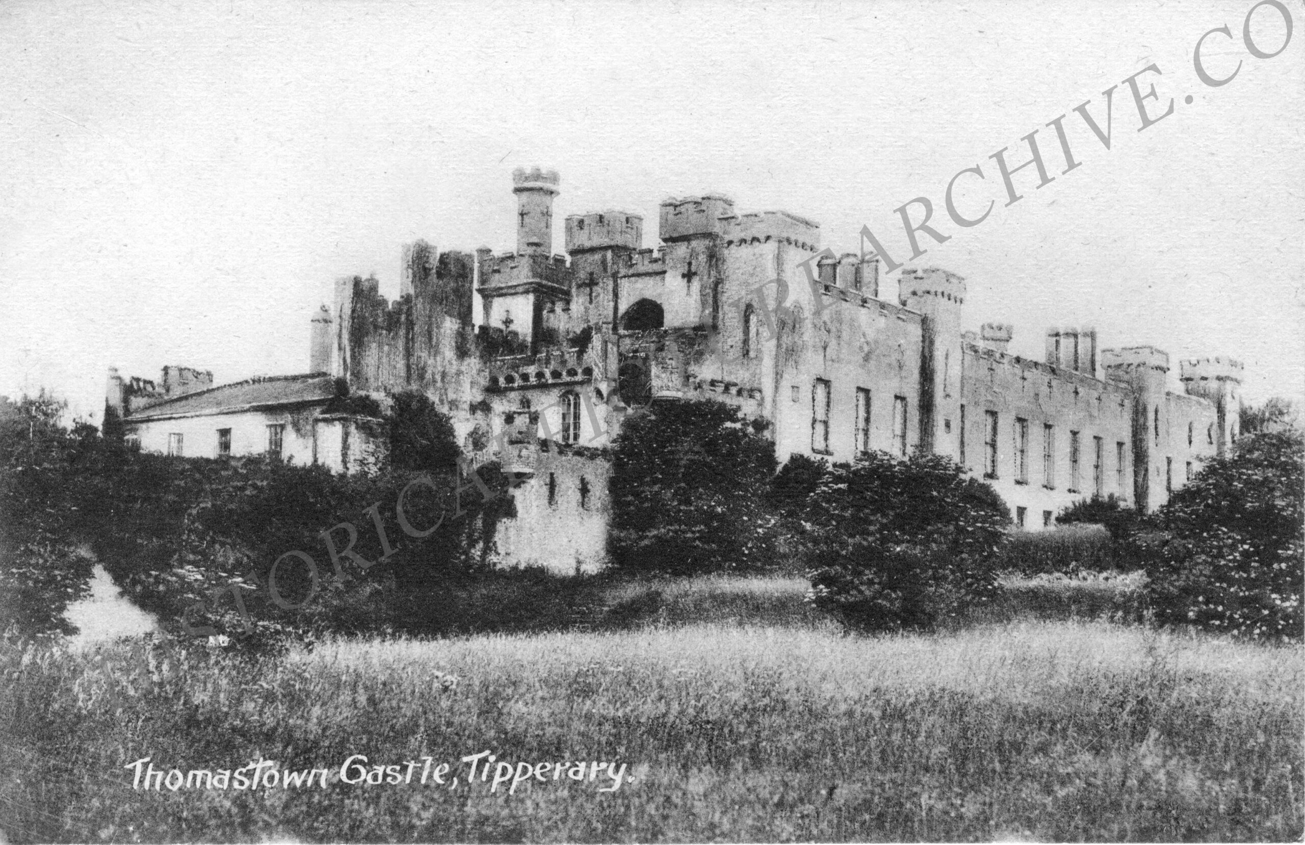 Thomastown Church (in ruins)Church · 743 yd
 Thomastown Castle GateRuins · 918 yd
 CastleCastle, ringwork · 927 yd
 Enclosure in Rathduff (relickmurray & Athassel Par.)Enclosure · 1137 yd
 Athassel PrioryHeritage attraction · 1.9 mi
 European ashEuropean ash · 3.0 mi
 Bansha ForestForest · 4.4 mi
 I.R.A. 3rd. Tipperary Brigade MemorialMemorial · 4.9 mi
 The RockViewpoint · 6.1 mi
 SturrakeenMountain / peak · 6.3 mi
Other information
Photo: Credit not shown in the picture search · Rights wording not checked; contact us if this picture should be removed