
What is recorded here
In level pasture, S of 'Green Road'. Identified on aerial photograph (CUCAP AIE 24, 23) as cropmark of an oval enclosure (dims. c. 45m NNE-SSW; c. 40m NNW-SSE) with a field boundary to the E at a tangent. There is a slight trace of a levelled curvilinear bank WSW-NW-N. Part of the fosse of the enclosure was uncovered by a limited archaeological excavation in 2000 (Joubert 2002, 320).
Compiled by: Jean Farrelly
Date of upload: 26 August 2011
The monument record does not grant public access. Check the route and ask the landowner before entering private land.
- What survives
- Recorded monument
Places near here
 IndicatedEnclosure, large enclosure · 568 yd
 Templegobban (in ruins)Church · 582 yd
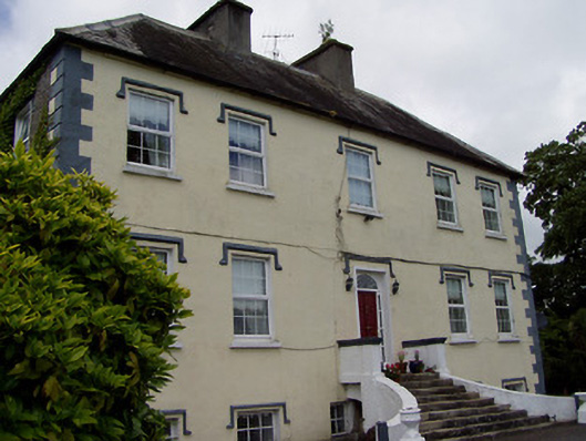 Rathcloheen Househouse · 837 yd
 Enclosure in Athasselabbey SouthEnclosure · 980 yd
 Thomastown Castle GateRuins · 1430 yd
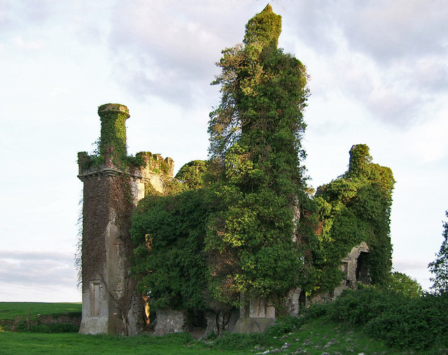 Thomastown CastleCastle · 1623 yd
 Athassel PrioryHeritage attraction · 1.3 mi
 European ashEuropean ash · 3.7 mi
 Caucasian zelkovaCaucasian zelkova · 4.8 mi
 Hore AbbeyHeritage attraction · 5.6 mi
 SturrakeenMountain / peak · 6.4 mi
 The RockViewpoint · 6.7 mi
Other information
Photo: Credit not shown in the picture search · Rights wording not checked; contact us if this picture should be removed