
What is recorded here
In pasture, on top of hillock. Sizeable sub-oval enclosure (dims. c. 100m N-S; c. 90m E-W) defined by low random rubble stone wall (T c. 1.1m, T c. 1.5m where collapsed; int. H c. 0.8m; ext. H c. 1.3m) breached in numerous places. Interior is level and grass covered; mature trees grow around interior and exterior of wall. A ruinous farm building ('Rathduff Cottage') is within enclosure, just S of centre. A ruinous field boundary of random rubble stone crosses from the E corner of ruin to enclosing wall of enclosure, confining a small haggard to SE of ruin; a second ruinous field boundary crosses (long axis NW-SE) to SW side of ruin enclosing a segment at SW. Identified on aerial photograph (GIS R.512/11, 16.4.1974). There is an enclosure (TS068-006----) c. 530m to the W and another (TS068-008----) c. 500m to the E.
Compiled by: Jean Farrelly
Date of upload: 26 August 2011
A local fairy fort (ringfort/rath); wider significance not recorded.
The monument record does not grant public access. Check the route and ask the landowner before entering private land.
- What survives
- Recorded monument
Places near here
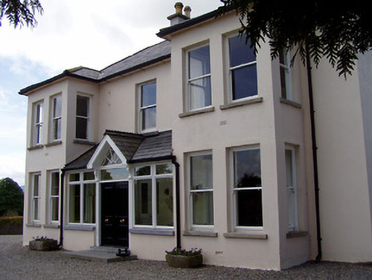 Rathduff Househouse · 556 yd
 Enclosure in Rathduff (relickmurray & Athassel Par.)Enclosure · 568 yd
 Enclosure in Thomastown Demesne NorthEnclosure · 569 yd
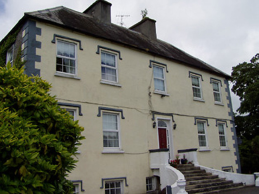 Rathcloheen Househouse · 1000 yd
 Thomastown Castle GateRuins · 1043 yd
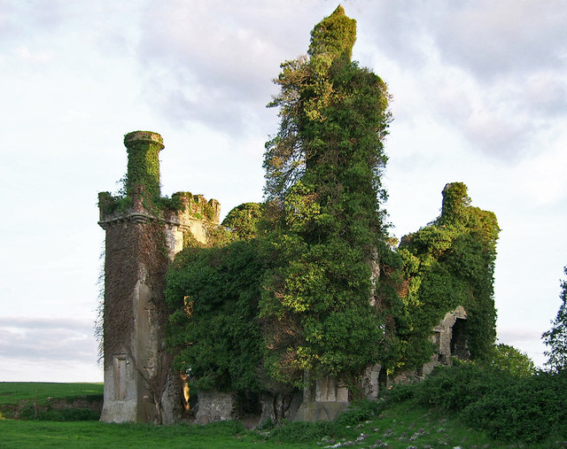 Thomastown CastleCastle · 1195 yd
 Athassel PrioryHeritage attraction · 1.6 mi
 European ashEuropean ash · 3.4 mi
 Bansha ForestForest · 4.6 mi
 SturrakeenMountain / peak · 6.3 mi
 The RockViewpoint · 6.4 mi
 Laghtshanaquilla North-East TopMountain / peak · 6.9 mi
Other information
Photo: Credit not shown in the picture search · Rights wording not checked; contact us if this picture should be removed