
What is recorded here
In pasture, on a gentle NE-facing slope in gently undulating terrain, under pasture. Athassel Abbey (TS068-013----) is located 1.5km to the ESE. A rectangular building orientated ESE-WNW (dims. 10.7m ESE-WNW; 5.2m NNE-SSW) defined by a grassy bank (int. H 0.6m; ext. H 0.65m; Wth at base 3.85m; Wth at crest 0.97m) which is obscuring the original stone walling (T c. 0.8m), the external face of which is evident in places, particularly along the ESE gable. There is no obvious entrance, but it may be at the western end of the NNE wall where there is a large area of brambles. This building is called 'Templegobban (in Ruins)' on both the 1st (1843) and 2nd (1900-05) ed. OS 6-inch map. It is within a roughly circular enclosure (TS068-009001-) which has a number of internal sub-divisions. Locally the name 'Templegobban' is understood to mean 'Temple of the Chalice' and in recent years a holy water stoup, now lost, was found at this location.
Compiled by: Jean Farrelly
Date of upload: 26 August 2011
The monument record does not grant public access. Check the route and ask the landowner before entering private land.
- What survives
- Recorded monument
Places near here
 Enclosure in Athasselabbey SouthEnclosure · 514 yd
 Enclosure in Rathduff (relickmurray & Athassel Par.)Enclosure · 582 yd
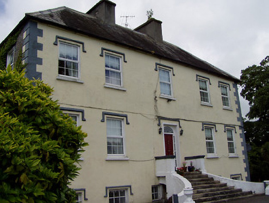 Rathcloheen Househouse · 652 yd
 Athasselabbey Househouse · 1434 yd
 Thomastown Castle GateRuins · 1649 yd
 CastleCastle, motte · 1707 yd
 Athassel PrioryHeritage attraction · 1757 yd
 European ashEuropean ash · 3.9 mi
 Caucasian zelkovaCaucasian zelkova · 5.0 mi
 SturrakeenMountain / peak · 6.6 mi
 The RockViewpoint · 7.0 mi
 Laghtshanaquilla North-East TopMountain / peak · 7.2 mi
Other information
Photo: Credit not shown in the picture search · Rights wording not checked; contact us if this picture should be removed