What is recorded here
In level pasture. Rectangular area (dims. c. 27m N-S; c. 26m E-W) defined by levelled scarp (Wth c. 3m; ext. H c. 0.5m); the E bank (int. Wth c. 6m; int. H c. 0.95m; ext. H c. 1.7m) falling steeply to E-side into depression/quarry. Scarp very slight on S-side (Wth c. 4m; H c. 0.4m). Interior grass covered and slightly undulating. Not shown on 1st ed. OS 6-inch map. Sub-rectangular depression (dims. along base c. 25m N-S; c. 26m E-W) defined by well formed and steep sides falling to base (S-side: Wth c. 5.9m; H c. 1.7m; N-side: Wth c. 6m; H c. 1.5m) abuts moated site to E. Ringfort (TS068-028----) located c. 800m to SW.
Compiled by: Jean Farrelly
Date of upload: 26 August 2011
The monument record does not grant public access. Check the route and ask the landowner before entering private land.
- What survives
- Recorded monument
Places near here
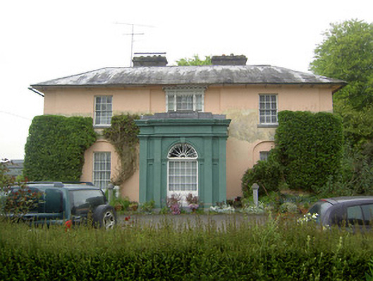 Racecourse Hallcountry house · 530 yd
 Enclosure in Racecourse DemesneEnclosure · 708 yd
 RathbaneFairy fort / earthen ringfort · 853 yd
 Shanballyduff Househouse · 1234 yd
 Shanballyduff CastleCastle · 1293 yd
 Site of CastleCastle, unclassified · 1.3 mi
 Hore AbbeyHeritage attraction · 2.4 mi
 Athassel PrioryHeritage attraction · 3.4 mi
 TuliptreeTuliptree · 7.5 mi
 Ballydavid WoodWood · 7.9 mi
 RathnadovCeremonial enclosure · 1503 yd
 Enclosure in KnockbullogeEnclosure · 1727 yd