What is recorded here
In level pasture, in SE-corner of field. Remains of rectangular area (map dims. 55m N-S; 30m E-W) defined by bank (L 26m; Wth 4.55m; int. H 0.65m; ext. H 0.6m) to N and short returns to E (L 8m) and W (L 18m) all incorporated into field boundaries. Deeply cut ditch on exterior of surviving bank. Interior incorporated into rest of field as pasture. According to Barry (1977, 198) the monument was removed in 1959 'in process of land reclaimation. Stream flowed along eastern moat. Wet moat 3m wide and 2.50m deep'.
Compiled by: Jean Farrelly
Date of upload: 26 August 2011
The monument record does not grant public access. Check the route and ask the landowner before entering private land.
- What survives
- Recorded monument
Places near here
 ToberamaherHoly well · 843 yd
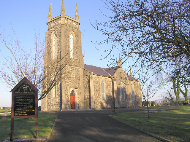 Colman Church (in ruins)Church · 950 yd
 Enclosure in Colman (hennessy)Enclosure · 1024 yd
 BatteryBawn · 1407 yd
 Rathdrum Castle (in ruins)Castle, tower house · 1.0 mi
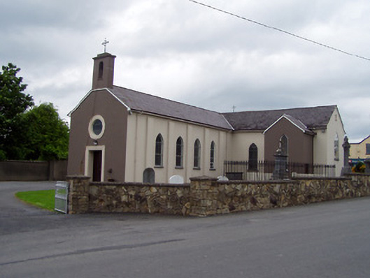 Saint Michael's Catholic Churchchurch/chapel · 1.5 mi
 Pedunculate OakPedunculate Oak · 1.8 mi
 Grove WoodForest · 2.8 mi
 East GateMemorial · 3.2 mi
 Kilknockan HillMountain / peak · 4.3 mi
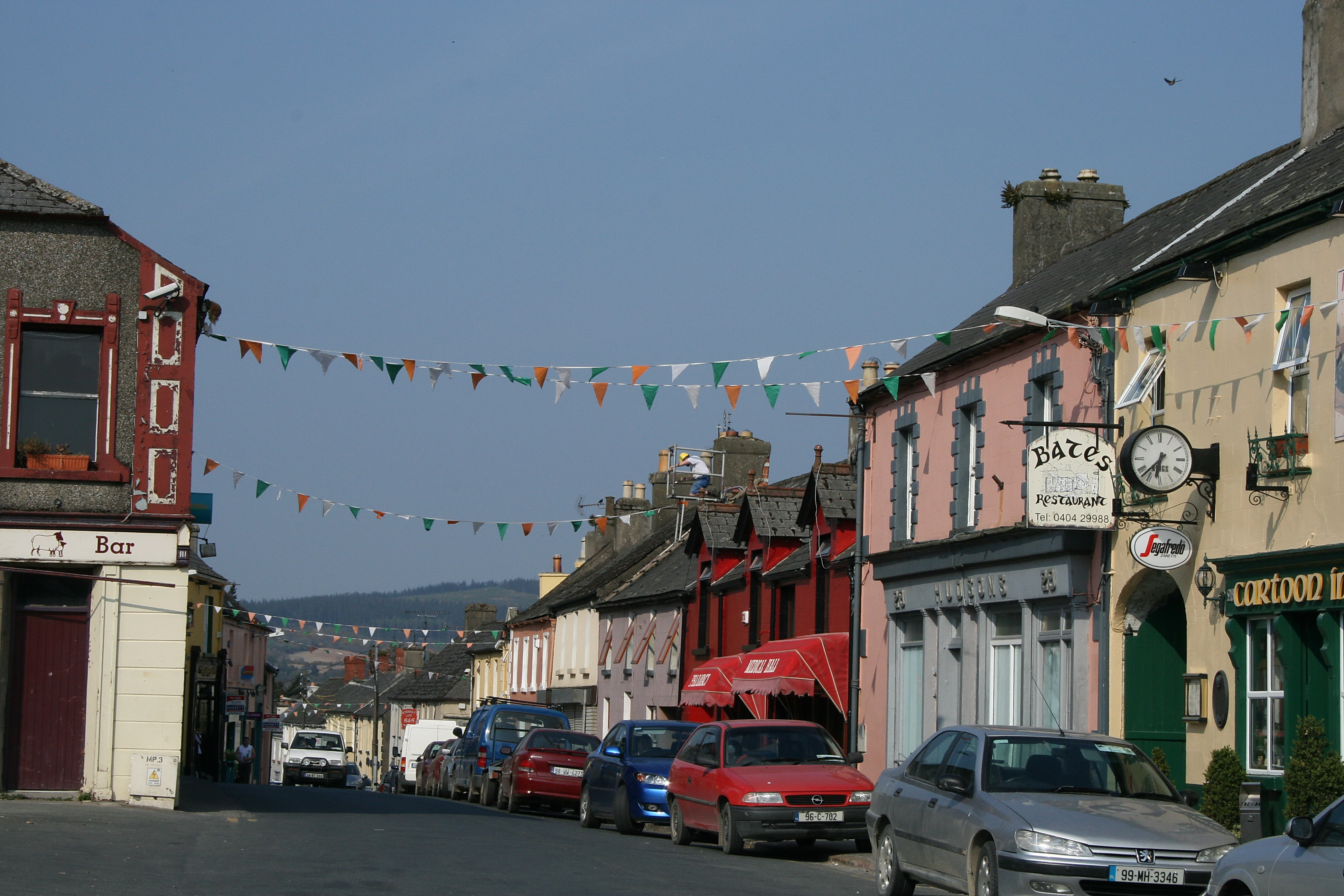 (Site of) TemplemurryChurch · 1442 yd
 Site of ChurchChurch · 1470 yd