What is recorded here
On a slight SE-facing slope in gently undulating low-lying pasture. Identified by aerial photography (Bruff 67). Rectangular very slightly raised area (dims. 18m NE-SW; 21m NW-SE) defined by a low earthen bank (overall Wth 4.1; Wth at top 2m; int. H 0.05m; ext. H 0.1m) with a shallow external fosse (overall Wth 3m; Wth at base 1.5m; D 0.1m). The earthen bank and fosse enclose the NE and SE sides with barely perceptible traces visible along the NW side. The SW side is defined by a modern field boundary. The original entrance is not recognisable. The interior slopes slightly facing SE and is clear of overgrowth.
Compiled by: Jean Farrelly
Date of revised upload: 15 September 2014
The monument record does not grant public access. Check the route and ask the landowner before entering private land.
- What survives
- Recorded monument
Places near here
 Enclosure in ChancellorslandEnclosure · 198 yd
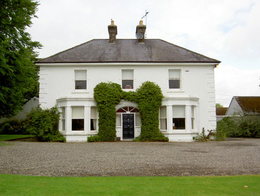 Farranasa Househouse · 1452 yd
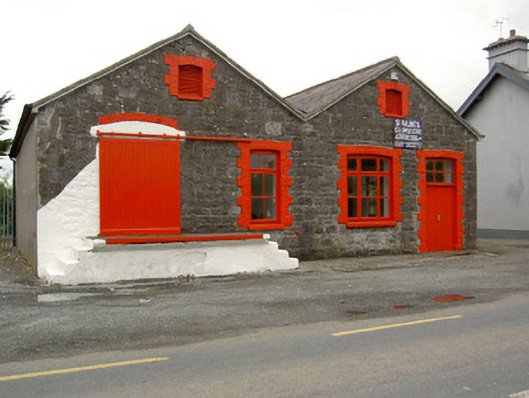 Saint Ailbe's Creamerycreamery · 1711 yd
 St. Peters WellHoly well · 1.1 mi
 Glebe Ho.Castle, unclassified · 1.4 mi
 CastleCastle, motte · 2.3 mi
 Kilteely HillMountain / peak · 3.6 mi
 St. Patrick's WellSpring · 3.9 mi
 St Patrick's WellSpring · 4.2 mi
 Flat cemetery in Knockainy WestFlat cemetery · 4.5 mi
 Oola HillMountain / peak · 5.3 mi
 Ballinvreena LoopVisitor information · 7.2 mi