What is recorded here
On gradual N-facing slope in gently undulating terrain, under tillage. Enclosure (diam. c. 60m) identified as a roughly circular cropmark on an aerial photograph taken in 1977 (GSI S.790/1) and again in 1996 (ASIAP (27) 23-8). The enclosure is not visible at ground level. Three conjoined enclosures (TS078-059001-; TS078-059002-; TS078-059003-) visible on ASI aerial photographs as cropmarks were located immediately to SW and SSW.
Compiled by: Jean Farrelly
Date of upload: 26 August 2011
The monument record does not grant public access. Check the route and ask the landowner before entering private land.
- What survives
- Recorded monument
Places near here
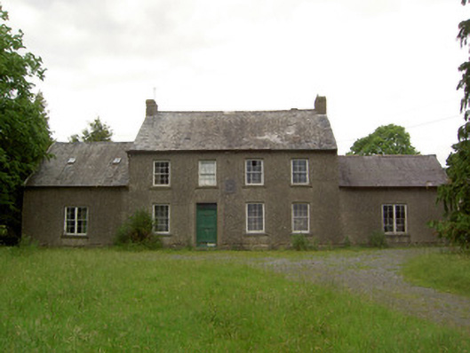 Mauganstown Housecountry house · 1258 yd
 Enclosure in BallynarahaEnclosure · 1359 yd
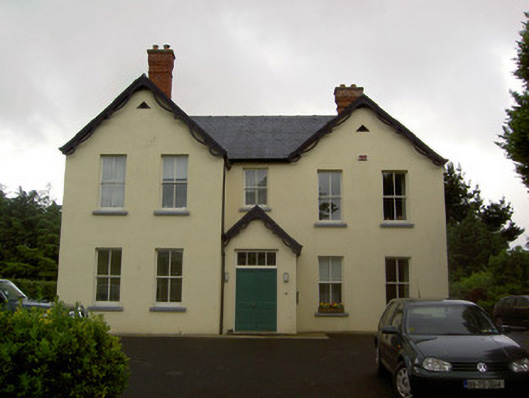 Clashaniska Househouse · 1535 yd
 LisbaltingEnclosure · 1.0 mi
 Glen Castle (in ruins)Castle, tower house · 1.3 mi
 Castle (in ruins)Castle, tower house · 1.4 mi
 Pedunculate OakPedunculate Oak · 1.8 mi
 Maurice DavinMemorial · 1.9 mi
 Garden of RenewalNature reserve · 2.0 mi
 Carrigaloe RockNamed rock · 2.3 mi
 CarrigcoumMountain / peak · 2.4 mi
 Thomas KielyMemorial · 2.9 mi