
What is recorded here
On summit of low, flat-topped ridge running E-W, in pasture. Immediately S of E-W road. Field boundaries to E and W have been removed and field is currently dividied into grazing paddocks by post and electric fencing. Enclosure has been levelled and is not visible at ground level. On 1901-05 OS 6-inch map the monument is depicted as a circular enclosure c. 40m in diameter.
Compiled by: Jean Farrelly
Date of upload: 26 August 2011
The monument record does not grant public access. Check the route and ask the landowner before entering private land.
- What survives
- Recorded monument
Places near here
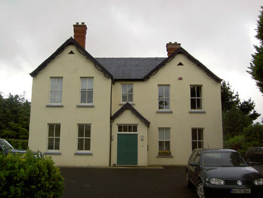 Clashaniska Househouse · 981 yd
 Grave YardGraveyard · 1107 yd
 Kilcash Church (in ruins)Church · 1113 yd
 Enclosure in KilcashEnclosure · 1117 yd
 Kilcash CastleCastle · 1145 yd
 Kilcash Castle (in ruins)Castle, tower house · 1145 yd
 Kilcash WoodForest · 1.2 mi
 Carrigaloe RockNamed rock · 1.4 mi
 Wild CherryWild Cherry · 2.1 mi
 Thomas KielyMemorial · 2.5 mi
 Curraghdobbin HillMountain / peak · 3.1 mi
 SlievenamonMountain / peak · 3.2 mi
Other information
Photo: Credit not shown in the picture search · Rights wording not checked; contact us if this picture should be removed