What is recorded here
S of Clonmel to Waterford railway line. Identified on an aerial photograph (CUCAP July 1970 BDR 60) as cropmarks consisting of a curving, double fosse, which extends from the interior of an enclosure (TS084-008001-) southward, and would appear to pre-date the enclosure. Now on grounds owned by Merck, Sharp and Dohme and the area has been modified with an access road to the factory and landscaping. The earthworks are not visible at ground level.
Compiled by: Jean Farrelly
Date of upload: 26 August 2011
The monument record does not grant public access. Check the route and ask the landowner before entering private land.
- What survives
- Recorded monument
Places near here
 Ballydine Ho.Castle, unclassified · 559 yd
 Gloragh WellsHoly well · 688 yd
 Dysart HouseOfficially recorded historic building · 898 yd
 Maurice DavinMemorial · 1126 yd
 Grave YardGraveyard · 1182 yd
 Glen Castle (in ruins)Castle, tower house · 1193 yd
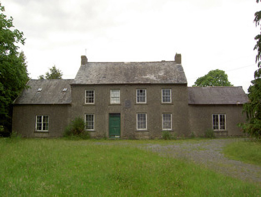 Mauganstown Housecountry house · 1244 yd
 Churchtown WoodForest · 1.4 mi
 Thomas KielyMemorial · 2.0 mi
 Coolnamuck Wood WestForest · 2.1 mi
 CarrigcoumMountain / peak · 2.1 mi
 Carrigaloe RockNamed rock · 3.1 mi