
What is recorded here
In undulating terrain on the crest of a ridge with the land sloping away to the SE. It is in a meadow which has been recently cut leaving a buffer zone of 5m around the monument. The main Clonmel-Carrick-on-Suir road runs NW-SE past the SW quadrant. It is a raised oval area (diam. 36m NW-SE) defined by scarp. The bank is composed of earth and stone. There is a fosse marked on the 2nd (1901-05) ed. OS 6-inch map in the N quadrant which was removed during road-widening works. There is a possible fosse at the base of the scarp in the E quadrant (Wth 5m; D 0.35m) which has a wide shallow depression. The interior is concave with lush grass cover. The SW quadrant is transected NW-SE by a concrete block wall. The road has been widened since the 2nd ed. OS 6-inch map and there is a steep scarp on either side of the road. The monument has been truncated and the SW quadrant levelled. The height above the scarp in the NW quadrant is 2.25m. There is dumped stone and material outside the NW quadrant close to the concrete wall. A post and wire fence runs parallel to the concrete wall through the interior of the enclosure.
Compiled by: Jean Farrelly
Date of upload: 26 August 2011
A local fairy fort (ringfort/rath); wider significance not recorded.
The monument record does not grant public access. Check the route and ask the landowner before entering private land.
- What survives
- Recorded monument
Places near here
 IndicatedHoly well · 801 yd
 Glen Castle (in ruins)Castle, tower house · 1255 yd
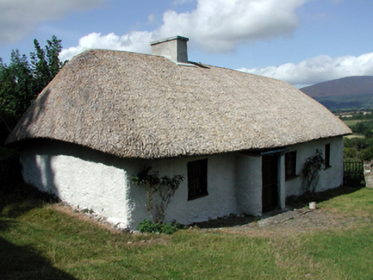 farm housefarm house · 1504 yd
 Castle (in ruins)Castle, tower house · 1554 yd
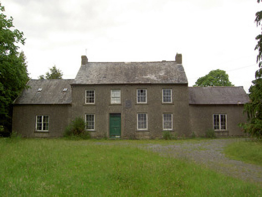 Mauganstown Housecountry house · 1617 yd
 Gloragh WellsHoly well · 1631 yd
 Pedunculate OakPedunculate Oak · 1.2 mi
 Garden of RenewalNature reserve · 1.5 mi
 Maurice DavinMemorial · 1.6 mi
 CarrigcoumMountain / peak · 1.6 mi
 CarrigeenseebohillaMountain / peak · 2.5 mi
 Carrigaloe RockNamed rock · 3.1 mi
Other information
Photo: Credit not shown in the picture search · Rights wording not checked; contact us if this picture should be removed