What is recorded here
Millbrook holds a fifteen-yard earthen ring on limestone pasture, its two-foot bank still marking a boundary though no ditch remains to warn intruders. O. Davies walked past in 1942 and measured the quiet shape, but the name Fairy fort suggests people once saw more than soil. Perhaps the restricted view and level centre made it a room for thoughts rather than a house for tools. The land keeps that much of the truth: a small circle, unbroken on good grass, waiting to be remembered.
Described by O. Davies in 1942 as a rath situated 'on limestone with generally good pasture. Restricted view. No fosse. The bank is 2 feet feet high outside and level inside. Centre level. Rath circ. 15 yds.'
The above description is derived from the published 'Archaeological Inventory of County Offaly' (Dublin: Stationery Office, 1997). In certain instances the entries have been revised and updated in the light of recent research.
Date of upload: 23 May 2011
The monument record does not grant public access. Check the route and ask the landowner before entering private land.
- What survives
- Recorded monument
Places near here
 Mound in MillbrookMound · 31 yd
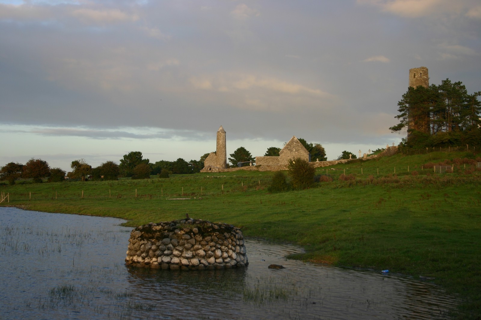 Abbey (in Ruins)Religious house, Augustinian canons · 188 yd
 forge/smithyforge/smithy · 244 yd
 Burial ground in KilleighBurial ground · 304 yd
 Mick the MillerMemorial · 308 yd
 Burnett's WoodForest · 936 yd
 Scrub HillMountain / peak · 1325 yd
 Red HillMountain / peak · 1.5 mi
 Derryad WoodForest · 1.6 mi
 Castle in ruinsCastle, unclassified · 2.4 mi
 Church (in Ruins), GraveyardChurch · 2.7 mi
 Castle Brack (in ruins)Castle, tower house · 2.7 mi