What is recorded here
Kilrush metalworkers built an iron mill beside the Owenbeg River in the seventeenth century, and green glassy slag still marks the bank where topsoil and river waste buried the works. The steep ravine between Kilronan church and the water suggests a place where heat, noise and heavy labour shaped local life. Men may have carried ore, fuel and finished iron along the same path where visitors now walk upstream from the bridge.
An Iron-Mill within the townland was established in the seventeenth century (O'Hanlon and O'Leary 1907, vol. 2, 519).
Situated beside the Owenbeg River valley in an upland area there is a steep ravine bewteen Kilronan church and graveyard and the river. At the base of this slope on the banks of the river are the estensive remains of the green glassy slag waste from an Iron works' (pers. comm. C O'Shea). Subsequent dumping of top soil has covered over this material butthere is loat of waste Iron in the bed of the river as one walks upstream from the Ironmills bridge. The remains of the waste material and the waste Iron suggest that there was an Iron works in the field alongside the bank of the Ownebeg River.
Compiled by: Caimin O'Brien
Date of upload: 17 December 2007
The monument record does not grant public access. Check the route and ask the landowner before entering private land.
- What survives
- Recorded monument
Places near here
 Kilcronan church (in Ruins)Church · 56 yd
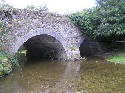 Loughill Bridgebridge · 715 yd
 Enclosure in CloghogeEnclosure · 1103 yd
 1798 MonumentMemorial · 1274 yd
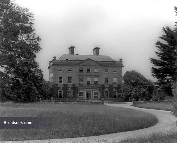 Font in BallinakillFont · 1343 yd
 Common LimeCommon Lime · 1713 yd
 AskuarWood · 1.2 mi
 Heywood GardensHeritage attraction · 1.3 mi
 Moat Castle in ruinsCastle, unclassified · 1.4 mi
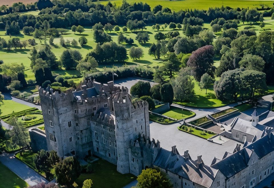 CastleCastle, motte · 1.4 mi
 Graveyard in SraleaghGraveyard · 4.4 mi
 Anker's IslandIsland · 4.5 mi