What is recorded here
Marked in SW quadrant of motte and bailey (LA030-021002-) on 1908 edition of the OS 6-inch map. Reference to a castle here (O'Flanagan 1933, vol. 2, 271, 274). Situated at the end of a ridge. No visible surface remains. David Sweetman, Olive Alcock and Bernie Moran.
From the National Monuments Service (Archaeological Survey of Ireland) record LA030-021001
The monument record does not grant public access. Check the route and ask the landowner before entering private land.
- What survives
- Recorded monument
Places near here
Photo credits
- National Inventory of Architectural Heritage
- Maker named on the Wikimedia Commons picture page · CC BY-SA 3.0
- Liam Hughes from Milwaukee, WI, USA, Wikimedia Commons · CC BY 2.0
- Alvesgaspar, Wikimedia Commons · CC BY-SA 3.0
- A.-K. D., Wikimedia Commons · CC0
- A.-K. D., Wikimedia Commons · CC BY-SA 4.0
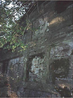 Heywood HouseMausoleum · 1723 yd
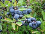 Blackthorn1.1 mi
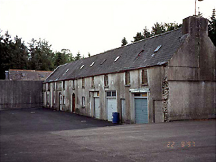 Heywood HouseFarmyard complex · 1.1 mi
.jpg/250px-Ballinakill_(1696493589).jpg "Photo: Liam Hughes from Milwaukee, WI, USA, Wikimedia Commons · CC BY 2.0") Heywood GardensHeritage attraction · 1.2 miCastleCastle, motte · 1.4 mi
Heywood GardensHeritage attraction · 1.2 miCastleCastle, motte · 1.4 mi Common Lime1.5 mi
 1798 MonumentMemorial · 1.5 mi
.jpg/250px-Ladywell_Castlemarket_(3).jpg "Photo: A.-K. D., Wikimedia Commons · CC BY-SA 4.0") Ladys WellHoly well · 2.6 mi(Site of) CastleCastle, unclassified · 2.9 miKnocknamoe HouseMemorial · 3.8 mi
Ladys WellHoly well · 2.6 mi(Site of) CastleCastle, unclassified · 2.9 miKnocknamoe HouseMemorial · 3.8 mi IndicatedHoly well · 3.8 mi
 Abbeyleix Heritage CentreMuseum · 3.9 mi
More castles and forts in County Laois · All of County Laois
What do you know about this place?