What is recorded here
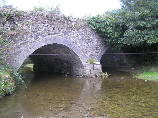
Two-arch rubble limestone road bridge over river, c.1800. Random rubble limestone walls with tooled limestone ashlar triangular cut-water to pier, inscribed benchmark, and rubble limestone coping to parapets having sections of cut-limestone rounded coping. Pair of segmental arches with tooled limestone ashlar voussoirs, and rubble stone soffits having render over. Sited spanning Ouveg River with grass banks to river.
A pleasantly-appointed modest-scale bridge representing an important element of the late eighteenth- or early nineteenth-century civil engineering heritage of County Kilkenny as identified by features including the construction of the arches. Limestone ashlar dressings displaying expert stone masonry introduce a refined element contrasting with the rustic quality produced by the construction in locally-sourced rubble stone. An inscribed benchmark indicates the additional importance of the site on account of the associations with cartography and the preparation of maps by the Ordnance Survey.
This does not grant access. Most recorded buildings are privately owned; view them only from public ground unless the owner allows entry.
Places near here
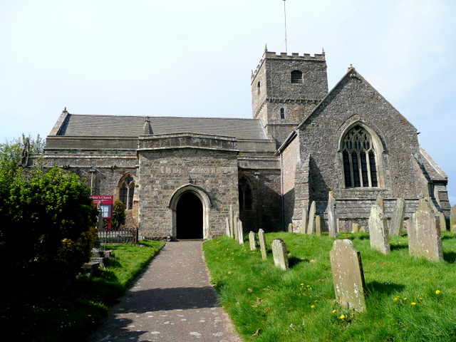 St. Chaddens Church (in ruins)Church · 657 yd
 Kilcronan church (in Ruins)Church · 728 yd
 Ladys WellHoly well · 1657 yd
 1798 MonumentMemorial · 1708 yd
 Enclosure in CloghogeEnclosure · 1.0 mi
 (Site of) CastleCastle, unclassified · 1.1 mi
 Common LimeCommon Lime · 1.3 mi
 AskuarWood · 1.6 mi
 Heywood GardensHeritage attraction · 1.6 mi
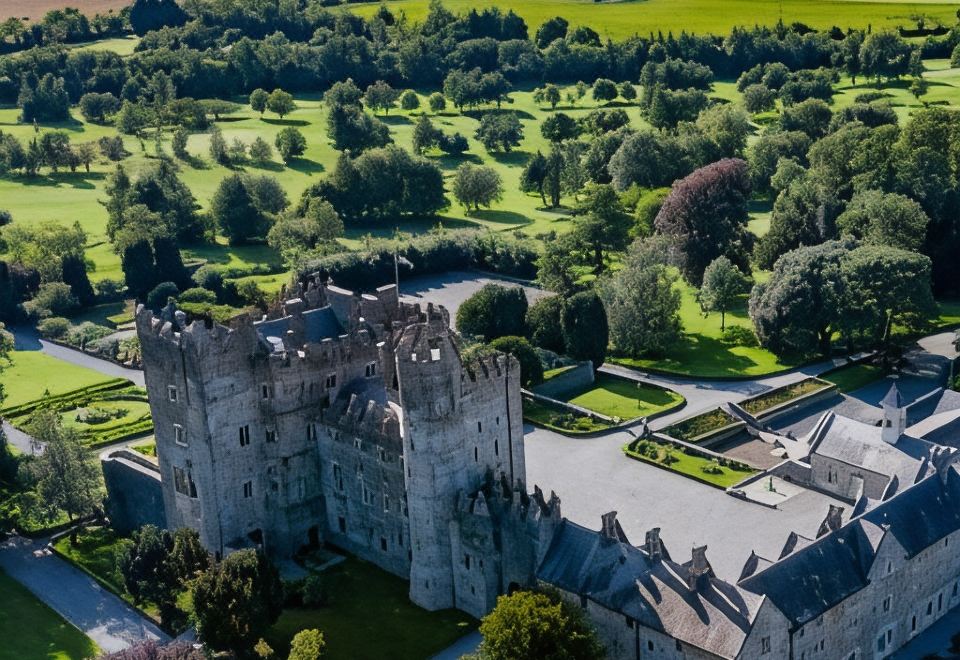 CastleCastle, motte · 1.8 mi
 Graveyard in SraleaghGraveyard · 4.0 mi
 Anker's IslandIsland · 4.1 mi
Other information
Photo: National Inventory of Architectural Heritage · Website use allowed for educational or private purposes with source credit