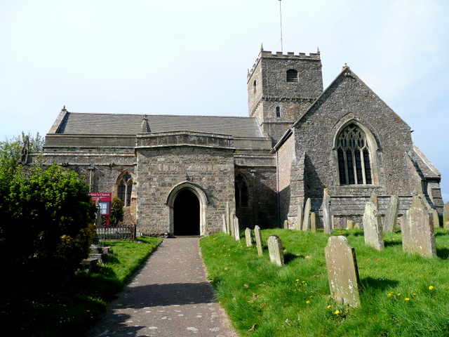
What is recorded here
On a natural terrace on a W-facing slope in wet, marshy terrain. The ground level falls away W of the W gable. Good views in all directions except where restricted upslope to the E. Carrigan (1905, vol. 2, 115) cites Bishop Phelan's List of Ossory Patrons for the dedication of this church to the apostles, SS Simon and Jude (also known as Thaddeus). The OS Letters of 1839 (O'Flanagan 1930, vol. 1, 47-8) make no reference to the dedication to St. Chadden, despite being annotated, 'St. Chadden's Church' on the OS 6-inch map, and Carrigan (ibid.) was not able to establish where this association came from. An undivided church (int. dims. 6.6m x 15.75m) orientated E-W, built of roughly coursed limestone/shale rubble with lime mortar with a high pebble content. The E gable survives, as does much of the N wall (H above ext. 3.4m; T 0.75m) though the E and W ends have collapsed, the W gable has collapsed, though the line of the wall can be traced, and only the E end of the S wall survives (wall survives to 7.6m from the E gable). The quoins are well preserved but not substantial, constructed using quite thin slabs. There is no base-batter. The E gable (H c. 5.3m; T 0.77m) has a large tall single lancet (H 3.3m) with voussoirs and a wide, shallow embrasure. The sill and all cut stone of the window are missing. There was a window in the S wall, 2.9m from the E gable, though the upper masonry coursed are missing and no cut stone survives. Only two lengths of the N wall survive and there are no surviving features, though in the westernmost section an external stone, which appears to be splayed, suggests a window may formerly have occupied the gap. There is a lot of rubble stone strewn around the interior and extending westward from the line of the W gable. The W lengths of both the N and S wall are leaning outward. The lancet window indicates a 13th-century date for this church. There is an associated graveyard (KK001-004002-).
Compiled by: Jean Farrelly
Date of upload: 30 May 2016
The monument record does not grant public access. Check the route and ask the landowner before entering private land.
- What survives
- Recorded monument
Places near here
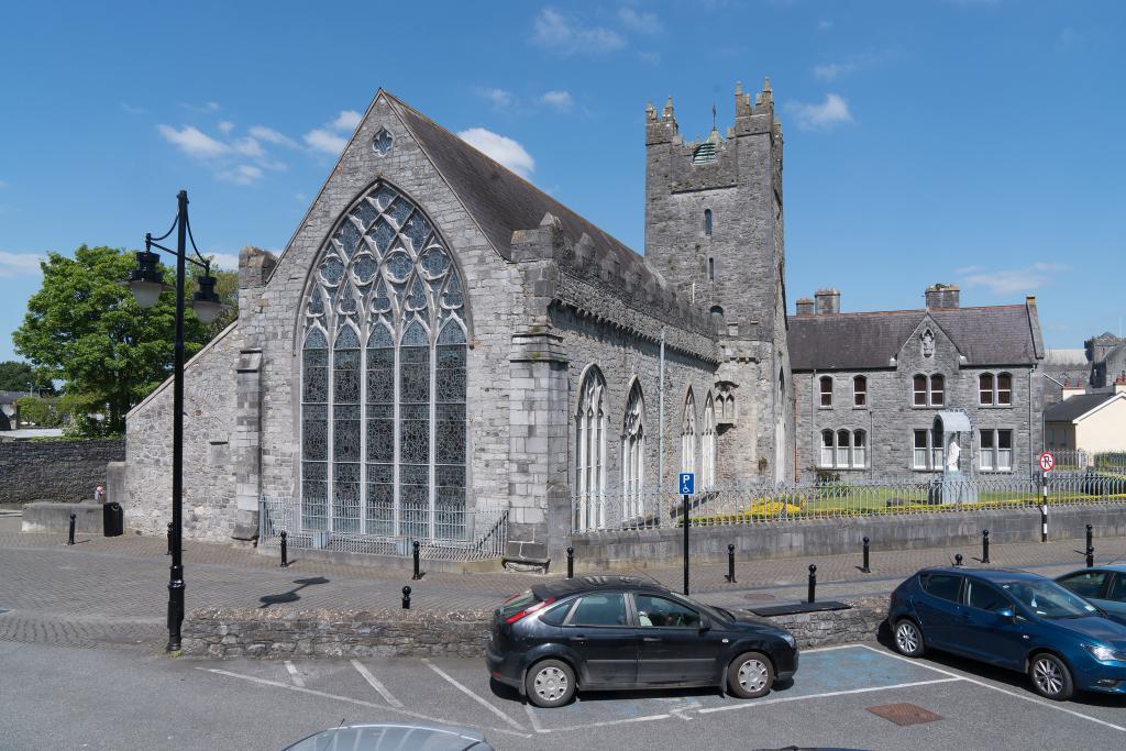 Abbey (in ruins)Religious house, unclassified · 269 yd
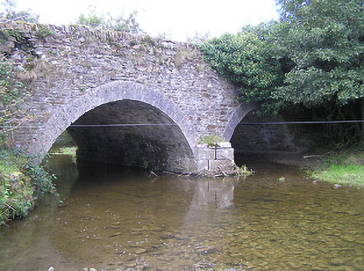 Loughill Bridgebridge · 657 yd
 Enclosure in Ironmills OR KilrushEnclosure · 1.1 mi
 Enclosure in CloghogeEnclosure · 1.1 mi
 1798 MonumentMemorial · 1.3 mi
 (Site of) CastleCastle, unclassified · 1.3 mi
 AskuarWood · 1.5 mi
 Common LimeCommon Lime · 1.6 mi
 Moat Castle in ruinsCastle, unclassified · 1.8 mi
 Heywood GardensHeritage attraction · 1.9 mi
 Graveyard in SraleaghGraveyard · 3.9 mi
 Anker's IslandIsland · 4.1 mi
Other information
Photo: Credit not shown in the picture search · Rights wording not checked; contact us if this picture should be removed