
What is recorded here
On the W bank of the Owenbeg River. A monastery is said to have founded here under by St Cronan (O'Byrne 1856, 50-1). Situated on a ridge in NW corner of graveyard (LA030-026001-). The church (dims. 12.8m x 5.18m) was almost levelled by 1907 but traces of wall foundations were visible; part of the graveyard was washed away by flood waters (O'Hanlon and O'Leary 1907, vol. 1, 235). Only a portion of w gable (H c. 1.3m) and E end of S wall now remain. No architectural features visible. Headstones in the surrounding subtriangular graveyard postdate 1700.
The above description is derived from the published 'Archaeological Inventory of County Laois' (Dublin Stationery Office, 1995) compiled by P. David Sweetman, Olive Alcock and Bernie Moran. In certain instances the entries have been revised and updated in the light of recent research.
Date of upload: 17 December 2007
Kilcronan church was founded by St Cronan in the 6th or 7th century and is dedicated to him; it is a small early Christian stone church, situated on a ridge within a graveyard, and reflects the monastic tradition of early Irish Christianity. Its location near the Owenbeg River and its association with a monastery highlight its historical and religious significance in the region.
The monument record does not grant public access. Check the route and ask the landowner before entering private land.
- What survives
- Recorded monument
Places near here
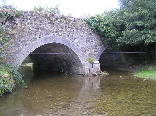 Loughill Bridgebridge · 728 yd
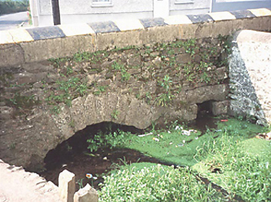 bridgebridge · 1070 yd
 Enclosure in CloghogeEnclosure · 1112 yd
 1798 MonumentMemorial · 1220 yd
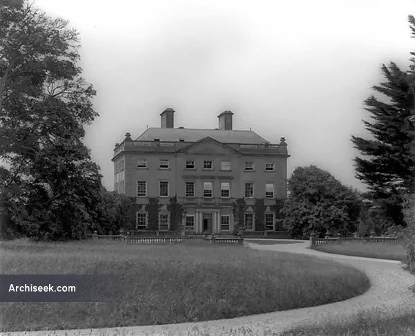 Font in BallinakillFont · 1290 yd
 Common LimeCommon Lime · 1662 yd
 AskuarWood · 1.2 mi
 Heywood GardensHeritage attraction · 1.2 mi
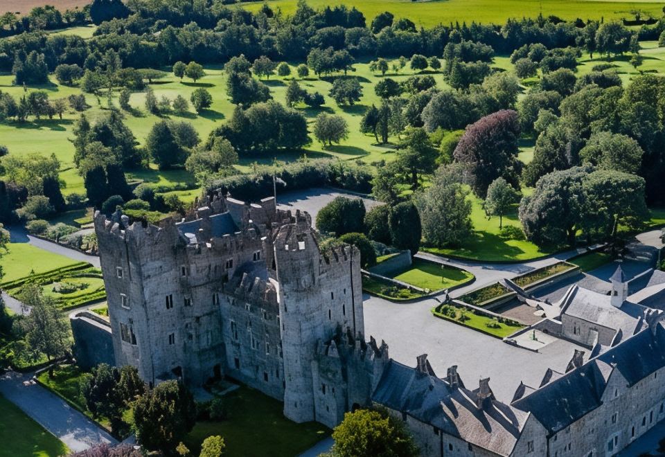 CastleCastle, motte · 1.4 mi
 Moat Castle in ruinsCastle, unclassified · 1.4 mi
 Graveyard in SraleaghGraveyard · 4.4 mi
 Anker's IslandIsland · 4.5 mi
Other information
Photo: Credit not shown in the picture search · Rights wording not checked; contact us if this picture should be removed