What is recorded here
In level pasture, on a gentle rise. Scant remains of an oval area (dims. 31m N-S; 28m E-W) defined by fosse (Wth 3m; D 0.1m) and levelled outer bank (Wth 3.5m; int. H 0.1m; ext. H 0.05m) S-NE. Possible entrance gap (Wth 4m) at W. Interior is level and poorly drained. Depicted on 1840 ed. OS 6-inch map as an oval enclosure (dims. c. 40m ENE-WSW; 36m NNW-SSE) and on latest ed. OS 6-inch map as an oval area (c. 30m N-S; c. 27m E-W).
Compiled by: Jean Farrelly
Date of upload: 26 August 2011
A ring-barrow, likely Bronze Age, representing a type of burial monument common in Britain during the second millennium BCE. Its ditch and bank features are typical of ceremonial or funerary earthworks of the period.
The monument record does not grant public access. Check the route and ask the landowner before entering private land.
- What survives
- Recorded monument
Places near here
 IndicatedEnclosure · 142 yd
 Meldrum Castle (ruins)Castle · 328 yd
 Enclosure in Rathclogh SouthEnclosure · 627 yd
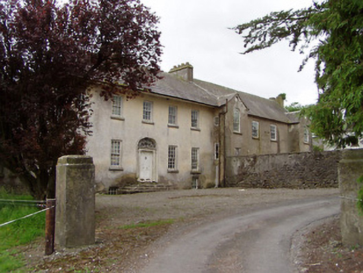 Meldrum Housecountry house · 641 yd
 Brickendown Church (in ruins)Church · 1300 yd
 The GarrisonCastle, tower house · 1.0 mi
 Ballyknock HillMountain / peak · 1.9 mi
 Cashel Folk MusuemMuseum · 2.8 mi
 The Rock Of CashelVisitor information · 2.8 mi
 Cormac's ChapelHeritage attraction · 2.9 mi
 Black mulberryBlack mulberry · 2.9 mi
 Gobban Saer's GraveArchaeological place · 6.1 mi