What is recorded here
Loughbrackan Fort is a medieval motte and bailey in County Meath, built by Anglo-Normans during the 12th or 13th century to control movement near Lough Brackan. Its flat-topped mound rises nearly four metres above a defensive ditch, while a rectangular bailey to the south likely held horses, supplies and everyday life. The conifers now growing there hide scarps that still mark the courtyard edge, preserving the shape of a place designed to watch the lake and deter attack.
Loughbrackan Fort is recorded as a archaeological place in County Meath. Its open map record supplies this location and any linked names or public references.
Places near here
 Loughbrackan FortCastle, motte and bailey · 8 yd
 CastleCastle, motte · 494 yd
 Font in LoughbrackanFont · 854 yd
 CrossCross, High cross · 1125 yd
 Drumran HillMountain / peak · 1.0 mi
 Yellow Ford Bridgebridge · 1.2 mi
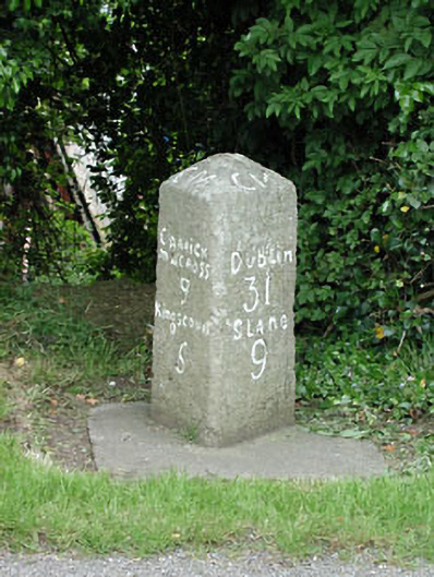 milestone/milepostmilestone/milepost · 1.2 mi
 Gun HillMountain / peak · 2.2 mi
 Nobber GreenwayMemorial · 3.1 mi
 Headstown ForestForest · 3.5 mi
 Common LimeCommon Lime · 3.8 mi
 Graveyard in Richardstown (ardee By., Richardstown Par.)Graveyard · 9.0 mi