What is recorded here
The large enclosure in Mantlehill Great is in County Tipperary, Ireland. It forms a semi-circle measuring 120 metres northeast to southwest and 82 metres northwest to southeast, with the River Suir defining its western edge. The enclosure surrounds a cliff-edge fort and may have had a bawn-like function. An 1840 map depicts it as a field boundary, while later imagery shows it as a cropmark or scarp.
In tillage, on a natural rise, on SE-edge of high river bank, overlooking the River Suir. A large semi-circular enclosure (dims. 120m NE-SW; 82m NW-SE) with the River Suir forming the western edge of the monument. The enclosure surrounds a cliff-edge fort (TS060-071----) and possibly had a bawn-like function. It is depicted as a field boundary on the 1st (1840) ed. OS 6-inch map and is visible as a cropmark or scarp on the OS ortho image.
Compiled by: Jean Farrelly
Date of upload: 22 October 2015
The monument record does not grant public access. Check the route and ask the landowner before entering private land.
- What survives
- Recorded monument
Places near here
 Cliff-edge fort in Mantlehill GreatCliff-edge fort · 37 yd
 IndicatedCliff-edge fort · 173 yd
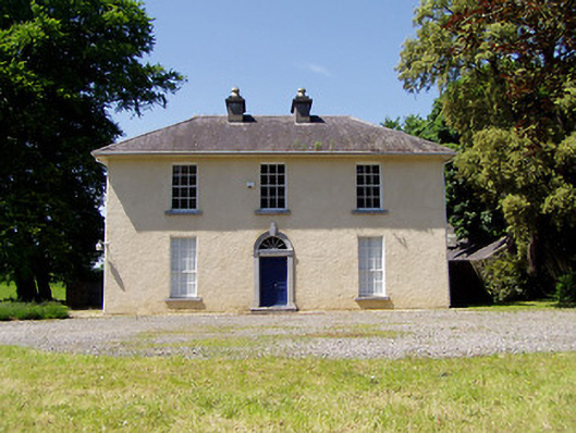 Springmount Househouse · 350 yd
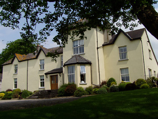 Ballygriffin Househouse · 794 yd
 CastleHouse, fortified house · 849 yd
 Bawn in CastleparkBawn · 1298 yd
 Athassel PrioryHeritage attraction · 2.0 mi
 Hore AbbeyHeritage attraction · 3.8 mi
 Dundrum Woods (Marl Bog)Forest · 4.4 mi
 Maudemount BogWood · 5.0 mi
 The Maid of ErinMemorial · 7.8 mi
 Enclosure in GoldenhillsEnclosure · 636 yd