What is recorded here
In pasture, enclosed within a small, roughly square field, located on a rise. Ground slopes down gently towards a stream c. 40m to W, and there is a river 130m to E.
Slightly raised circular area (diam. c. 25m) defined by an earthen bank and enclosed by a fosse with an external bank.
The inner bank (Wth 3.8m at SE, 3.3m at NE; int. H 0.4m at SE; ext. H 0.65m at SE, 0.8m at NE) incorporates stones in parts, particularly noticeable adjacent to a gap, possibly an original entrance at ESE. The fosse (Wth 3.8m at SE, 4m at NE) is evident as a shallow depression, with much stone strewn along its base. Discrete sections of the external bank (Wth c. 4m; int. H 0.65m; ext. H 0.3m, at SE) survives as a broad, low rise of earth and stones at NE, SE, SW and NW, but elsewhere it has been incorporated into, or truncated by later stone-built field fences, which box in the rath on all sides.
In the interior, a shallow depression (Wth c. 2m; D 0.3m) extends from a low area in the bank at NNW through the interior for a few meters to SSE, but is difficult to examine due to overgrowth.
The interior is largely obscured by a thicket of blackthorn, hawthorn, brambles and ferns; the perimeter is ringed with hawthorn and ash trees.
Compiled by: Jane O’Shaughnessy
Date of upload: 2 October 2020
The monument record does not grant public access. Check the route and ask the landowner before entering private land.
- What survives
- Recorded monument
Places near here
 IndicatedFairy fort / earthen ringfort · 550 yd
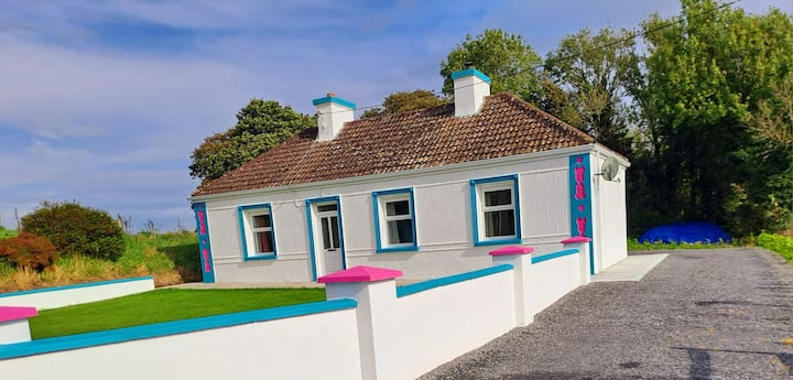 Enclosure in Lurga LowerEnclosure · 569 yd
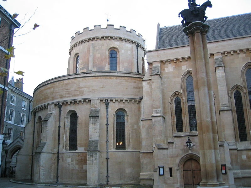 Church in TempleChurch · 729 yd
 Tavneena Househouse · 1.4 mi
 Old Cave Burial GroundArchaeological place · 5.5 mi
 East Mayo Brigade MonumentMemorial · 5.6 mi
 Rath Castle in ruinsCastle, tower house · 6.4 mi
 Bockagh HillMountain / peak · 7.2 mi
 Casatle (ruins)Castle, unclassified · 7.8 mi
 Thorn CaveCave · 8.3 mi
 Kiltimagh MuseumMuseum · 10 mi
 I'll Send You The FareMemorial · 10 mi