
What is recorded here
References to Castlemore, the principal castle of the Costellos date from 1336 to 1595, and it may be the castle of Lugha razed by O'Conor in 1270 (Lynn 1986, 98-100). In 1580 it was acquired by Theobald Dillon from Mac Costello (Cronin 1980, 114), and in 1635 it was the property of Lord viscount Dillon of Castlereagh and Gallen (O'Sullivan, W. 1958, 4-5). Situated on a low knoll with a small N-S stream immediately to the W, which joins a NW-SE stream c. 100m to the S.
This is a grass-covered masonry structure (ext. dims c. 16m E-W; c. 11m N-S; H 3.2m at N) with an external base batter at N but it is largely obscured by grass-covered cairn material. It stands inside the perimeter at the NW angle of the rectangular bawn (RO008-032002-) (dims 45m E-W; c. 30m N-S) defined by a wall (T 0.9m; ext. H 1.4m) at N, but the S part of the enclosure has been damaged by quarrying and contained at least one hut-site (RO008-021003-) (int. diam. 2.5m) defined by a grass-covered stone spread (Wth 1.7-2.8m; H 0.5-0.9m) with two other possible hut-sites (RO008-032004-; RO008-032005-). Test excavations (97E0268; 98E0325; 03E0430; 06E0121) in the vicinity failed to produce archaeological material (Walsh 1998; Morahan 2000; Read 2006c; Henry 2009b). There is a church (RO008-033001-) c. 100m to the E on the other side of a NE-SW road.
Compiled by: Michael Moore
Date of upload: 24 August 2010
This monument is subject to a preservation order made under the National Monuments Acts 1930 to 2014 (PO no. 4/1979).
The castle was held by the Costello family from at least 1336 to 1580, when it was acquired by Theobald Dillon. It is historically significant as Castlemore, a key seat associated with the Costellos in medieval Ireland.
The monument record does not grant public access. Check the route and ask the landowner before entering private land.
- What survives
- Recorded monument
Places near here
 Embanked enclosureFairy fort / earthen ringfort · 479 yd
 IndicatedChapel · 1015 yd
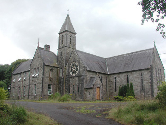 Saint Mary's Conventconvent/nunnery · 1020 yd
 Crunaun Castle (in ruins)Castle, unclassified · 1.3 mi
 CastleCastle, unclassified · 1.7 mi
 Enclosure in ToobrackanEnclosure · 2.3 mi
 Bockagh HillMountain / peak · 2.7 mi
 Druminagh WoodForest · 5.5 mi
 Fairymount HillMountain / peak · 6.0 mi
 Bawn IslandIslet · 6.7 mi
 Rose PointHeadland · 7.3 mi
 Castle PointHeadland · 7.5 mi
Other information
Photo: Credit not shown in the picture search · Rights wording not checked; contact us if this picture should be removed