
What is recorded here
Indicated is a ruined stone-and-earth ringfort in County Mayo, its broken bank still blocking a narrow pasture lane. The fort probably excluded people, marked a boundary, or preserved a local identity long before modern records. Farm traffic, weather and forgetting have since worn much of it away.
In pasture, located on a slight rise, with a stream c. 50m to W. Good views.
Slightly raised, roughly circular area (40m N–S; 44.2m E–W) defined by a bank of earth and stone, and enclosed by a fosse with an external bank or counterscarp.
The inner bank (Wth 2.7-3m, 3.5m at E; int. H 0.5-0.6m; ext. H 1.1m) appears be predominately earthen in its core makeup, but there is evidence for a facing of stone both internally and externally. Stones also protrude along the top of the bank. It is somewhat dilapidated and is eroded in parts by farm stock; it is lowest at W−N.
The fosse (Wth 2-2.3m) appears relatively narrow. The external bank survives only as a low, sod-covered stony rise, truncated on the N and E sides by a later field walls.
There is a gap (Wth 2.2m) in the inner bank at S with traces of a causeway over the fosse and a corresponding break in the external bank. The interior is level.
At the N the inner bank is incorporated into a roughly E–W field wall, flanking a trackway that overlies the line of the fosse.
Grass cover in interior; perimeter lightly ringed with hawthorn.
Compiled by: Jane O’Shaughnessy
Date of upload: 2 October 2020
Lurga Lower is a likely early-medieval ringfort, characterised by a circular enclosure with a bank and fosse, typical of agricultural and defensive settlements of the period. Local tradition associates such sites with fairy lore, often regarded as dwellings of the "Good People" in Irish folklore.
The monument record does not grant public access. Check the route and ask the landowner before entering private land.
- What survives
- Recorded monument
Places near here
 Enclosure in Lurga LowerEnclosure · 266 yd
 ToberarraghtHoly well · 491 yd
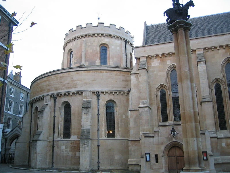 Church in TempleChurch · 763 yd
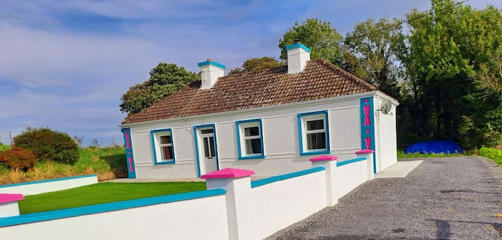
 Tavneena Househouse · 1.6 mi
 East Mayo Brigade MonumentMemorial · 5.5 mi
 Old Cave Burial GroundArchaeological place · 5.7 mi
 Rath Castle in ruinsCastle, tower house · 6.4 mi
 Bockagh HillMountain / peak · 7.5 mi
 Thorn CaveCave · 8.0 mi
 Casatle (ruins)Castle, unclassified · 8.1 mi
 Kiltimagh MuseumMuseum · 10 mi
 I'll Send You The FareMemorial · 10 mi
Other information
Photo: Credit not shown in the picture search · Rights wording not checked; contact us if this picture should be removed