
What is recorded here
Indicated is a hidden fairy fort in County Kerry, marked only on old surveys and perhaps touched by a forgotten underground passage. It disappeared into ordinary pasture, yet the circle still belongs to the hill. People may have lived there before the field swallowed the truth.
In pasture, on an E-facing slope. This rath is not visible at ground level. It is indicated as a circular enclosure (diam. c. 20m) on the 1846 OS 6-inch map. On the 1895 OS 6-inch map it appears to have been incorporated into the field boundary system and a rectangular structure abuts the bank externally at NE. A possible Man-made underground passage (KE094-008001-) is associated with this rath.
The above description is derived from the published 'Archaeological Inventory of County Kerry. Volume I: South-West Kerry' (Dublin: Stationery Office, 2009). In certain instances the entries have been revised and updated in the light of recent research.
Date of upload: 30 May 2011
The monument record does not grant public access. Check the route and ask the landowner before entering private land.
- What survives
- Recorded monument
Places near here
 SheepfoldsEnclosure · 410 yd
 Sheep FoldEnclosure · 813 yd
 Battle of Callannbattle · 1477 yd
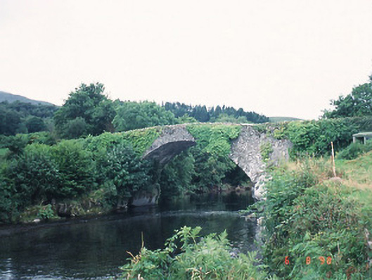 Ardtully Old Bridgebridge · 1588 yd
 Castle (Site of)Castle, unclassified · 1607 yd
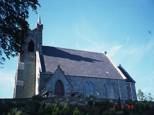 Michael J. Quill Centrechurch/chapel · 1615 yd
 European YewEuropean Yew · 1641 yd
 Kilgarvan Motor MuseumMuseum · 1.0 mi
 Great Southern & Western RailwayMemorial · 1.2 mi
 KnockbrackMountain / peak · 1.3 mi
 Knockbrack South TopMountain / peak · 2.1 mi
 Shanagarry Castle (Site of)Castle, unclassified · 3.3 mi
Other information
Photo: Credit not shown in the picture search · Rights wording not checked; contact us if this picture should be removed