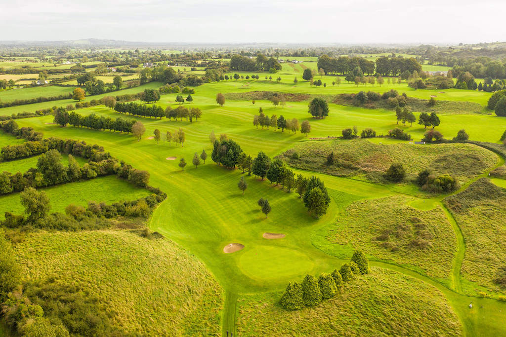
What is recorded here
The fairy fort or earthen ringfort in Loughanstown (corkaree By.) is in County Westmeath, Ireland. This substantially levelled site is visible as a circular platform with a diameter of approximately 36 metres on a north-northwest to south-southeast axis and 37 metres on a northeast to southwest axis. A low scarp defines the monument, which is visible from the northeast to the south and from the north-northwest to the northwest, while the perimeter has levelled from the southwest to the northwest. A roadway intersects the perimeter at the north, and the interior slopes slightly from the west to the east.
Situated on E facing slope of a gentle rise in grassland. Ringfort (WM012-117---) 200m to E. This site has been substantially levelled. Now visible as a circular platform (approx. diam. 36m NW-SE; 37m NE-SW) defined by a low scarp visible from NE-S and from NNW-NW. The perimeter of the site has levelled from SW-NW. A roadway intersects the perimeter of the monument at N. The interior slopes slightly from W-E. This levelled site is visible as a faint crop mark on the Digital Globe aerial photograph taken November 2011.
Compiled by: Frank Coyne and Caimin O'Brien
Date of upload: 19 February 2018
The monument record does not grant public access. Check the route and ask the landowner before entering private land.
- What survives
- Recorded monument
Places near here
 CastleCastle, tower house · 254 yd
 Scragh Bog Nature ReserveNature reserve · 521 yd
 OutlinedFairy fort / earthen ringfort · 526 yd
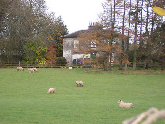 The Gleberectory/glebe/vicarage/curate's house · 529 yd
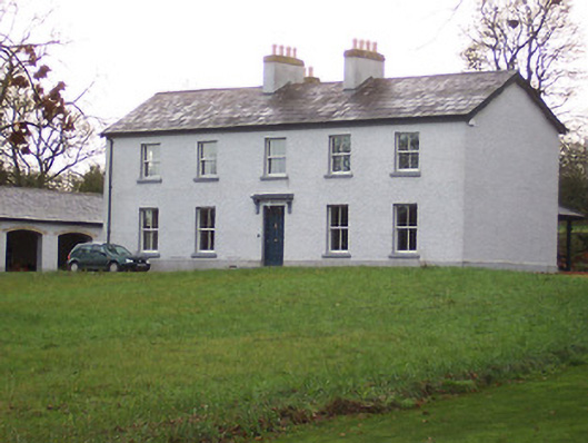 Portnashangan Househouse · 943 yd
 HachruedFairy fort / earthen ringfort · 972 yd
 Church IslandIsland · 1.2 mi
 Long PlantingForest · 1.4 mi
 Srudarra IslandIslet · 2.0 mi
 Saint Brigid's WellSpring · 2.3 mi
 TullaghanCastle, tower house · 2.4 mi
 United Nations War MemorialMemorial · 3.1 mi
Other information
Photo: Credit not shown in the picture search · Rights wording not checked; contact us if this picture should be removed