What is recorded here
In rough pasture, overlooking a poorly drained area to the ESE. Identified during field survey by Alison McQueen and Vera Rahilly (9 December 2008). Conjoined to ditch barrow (TS066-184002-) to the SW. A circular area (dims. 5.1m N-S; 5.5m E-W) defined by a very shallow fosse (Wth 2.0m; D 0.12m). The interior is sloping down to the SE with the prevalent slope and is c. 0.12m lower than the external ground level.
Compiled by: Jean Farrelly
Date of revised upload: 9 September 2014
Ditch barrow, dating to the Early Bronze Age (c. 2000–1500 BCE). These monuments are significant as they represent an early form of burial and ceremonial landscape features in Ireland.
The monument record does not grant public access. Check the route and ask the landowner before entering private land.
- What survives
- Recorded monument
Places near here
 Enclosure in MooresfortEnclosure · 411 yd
 Enclosure in LissobihaneEnclosure · 662 yd
 Mooresfort Housecountry house · 1452 yd
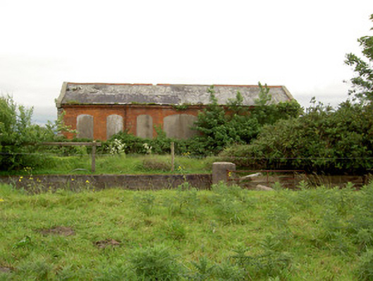 Emly Railway Stationstore/warehouse · 1.1 mi
 CastleCastle, ringwork · 1.8 mi
 Carn (site of)Cairn, burial cairn · 2.1 mi
 Glebe Ho.Castle, unclassified · 2.3 mi
 Saint Patrick's WellSpring · 4.5 mi
 St Patrick's WellSpring · 4.5 mi
 Knockanebrack HillMountain / peak · 5.2 mi
 Oola HillMountain / peak · 5.5 mi
 Flat cemetery in Knockainy WestFlat cemetery · 6.3 mi