What is recorded here
In rough, gently undulating pasture. Identified during field survey by Alison McQueen and Vera Rahilly (9 December 2008). A ring-barrow (TS066-183002-) is located c. 31m to the W. A circular area (diam. 5.8m) defined by a fosse (Wth 1.3m; D 0.12m). The interior is generally the same height as the exterior and wild irises cover the N half and extend into the fosse. The monument overlooks a former bog to the N and E which was planted with conifers c. 8 years ago.
Compiled by: Jean Farrelly
Date of revised upload: 9 September 2014
Ditch barrow, likely dating to the Early Bronze Age. Its presence indicates a local tradition of burial and ritual activity during the Bronze Age in the region.
The monument record does not grant public access. Check the route and ask the landowner before entering private land.
- What survives
- Recorded monument
Places near here
 Enclosure in MooresfortEnclosure · 404 yd
 LissobihaneFairy fort / earthen ringfort · 696 yd
 Mooresfort Housecountry house · 1365 yd
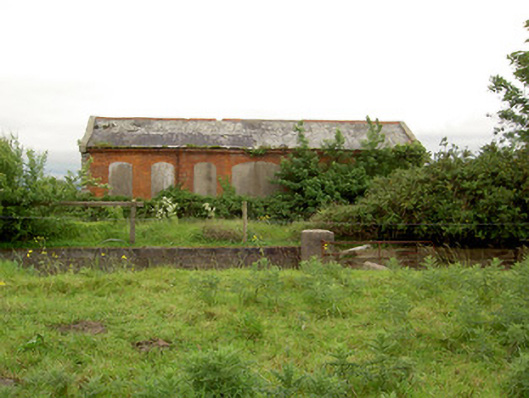 Emly Railway Stationstore/warehouse · 1.2 mi
 CastleCastle, ringwork · 1.7 mi
 Carn (site of)Cairn, burial cairn · 2.1 mi
 Glebe Ho.Castle, unclassified · 2.4 mi
 Saint Patrick's WellSpring · 4.5 mi
 St Patrick's WellSpring · 4.6 mi
 Knockanebrack HillMountain / peak · 5.2 mi
 Oola HillMountain / peak · 5.5 mi
 Flat cemetery in Knockainy WestFlat cemetery · 6.4 mi