What is recorded here
Embanked enclosure is a fairy fort or earthen ringfort in Lissahane, County Waterford, Ireland. It occupies a small pasture knoll at the top of a north-facing slope, forming a subcircular scrub-covered area that measures 44 metres north-south and 39 metres east-west. An earth and stone bank, 2.5 metres wide with internal and external heights of 1.1 and 1.3 metres, defines the perimeter. The bank carries internal and external stone revetment along an east-northeast to west-southwest arc, while it is reduced to a scarp 0.4 to 1.4 metres high elsewhere.
Situated in pasture on a small knoll at the top of a N-facing slope. Subcircular scrub-covered area (dims. 44m N-S; 39m E-W) defined by an earth and stone bank (Wth 2.5m; int. H 1.1m; ext. H 1.3m) with internal and external stone-revetment ENE-WSW, which is reduced to a scarp (H 0.4-1.4m) elsewhere. The widened entrance (Wth 5.4m) is at ENE. The N part of the interior has been used as a dump for field stones. There is no visible fosse.
The above description is derived from the published 'Archaeological Inventory of County Waterford' (Dublin: Stationery Office, 1999). In certain instances the entries have been revised and updated in the light of recent research.
Date of upload/revision: 23 December 2008
The monument record does not grant public access. Check the route and ask the landowner before entering private land.
- What survives
- Recorded monument
Places near here
 Man-made underground passage in Ballygarran (middlethird By., Newcastle Par.)Man-made underground passage · 1290 yd
 Field boundary in Ardeenloun EastField boundary · 1.0 mi
 Site of CastleCastle, unclassified · 1.1 mi
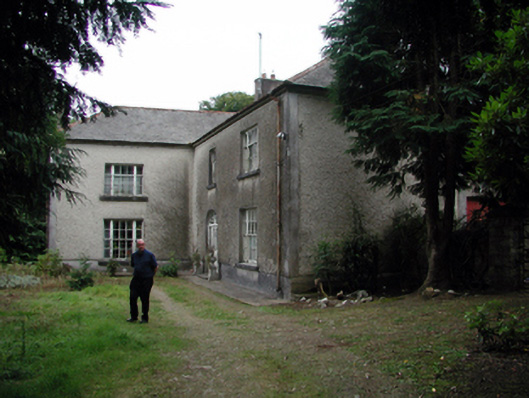 Knockaderry Househouse · 1.2 mi
 farm housefarm house · 2.0 mi
 St. Martin's WellSpring · 2.6 mi
 St. Bernard's WellSpring · 3.0 mi
 Glenhouse WoodForest · 4.0 mi
 Castle (in ruins)Castle, tower house · 4.1 mi
 8 Arch GalleryGallery · 4.5 mi
 Annestown monumentMemorial · 4.5 mi
 Kilmurrin CoveBeach / strand · 4.6 mi